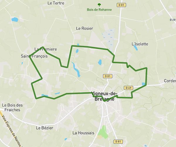
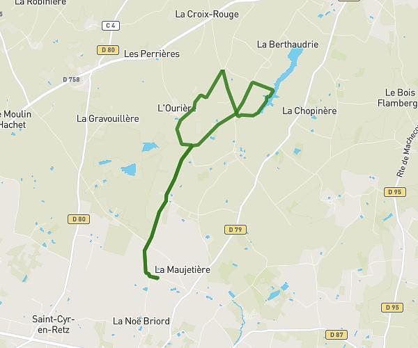
This running route covers 3.496mi starting from Chaumes-en-Retz, Loire-Atlantique. The run is a loop trail and returns to the trailhead. This run is rated as easy, expect about 34m to complete it. The route has an elevation gain of 95ft and an elevation loss of 95ft.
balade super u
Route details
6.17mph
Speed
389 kcal
Calories burned
Loop trail
Route type
23ft
Min altitude
69ft
Max altitude
Route profile
95ft
Elevation gain
95ft
Elevation loss
23ft
Min altitude
69ft
Max altitude
How to get there
Trailhead: 7 Impasse Joséphine Baker, 44320 Chaumes-en-Retz, France
GPS coordinates of the trailhead: 47.11493, -1.94018 / 47°6'53'' N, 1°56'24'' W