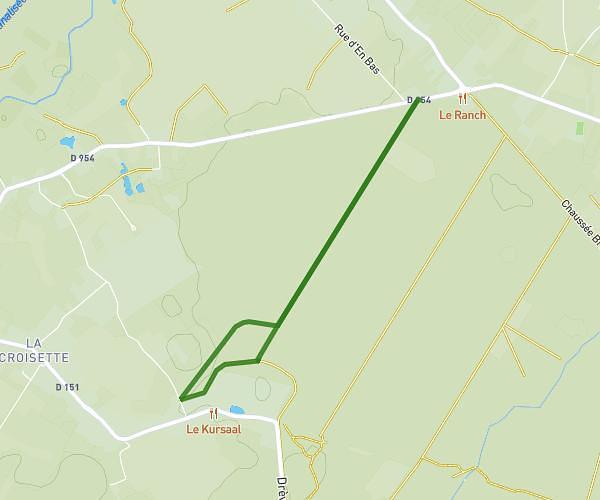
This walking route covers 5.408mi starting from Cantaing-sur-Escaut, Nord. The walk is a loop trail and returns to the trailhead. This walk is rated as hard, plan for about 1h35m to complete it. The route has an elevation gain of 138ft and an elevation loss of 138ft.
Cantaing marche
Route details
17:33/mi
Pace
388 kcal
Calories burned
Loop trail
Route type
144ft
Min altitude
190ft
Max altitude
Route profile
138ft
Elevation gain
138ft
Elevation loss
144ft
Min altitude
190ft
Max altitude
How to get there
Trailhead: D 92, 59267 Cantaing-sur-Escaut, France
GPS coordinates of the trailhead: 50.15447, 3.18446 / 50°9'16'' N, 3°11'4'' E