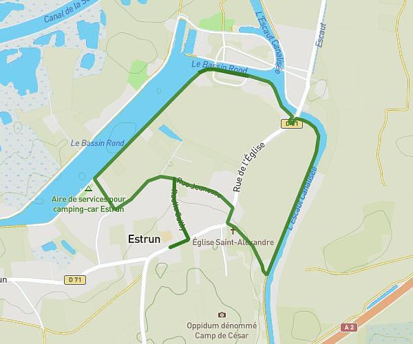
This walking route covers 2.269mi starting from Lambres-lez-Douai, Nord. The walk is a loop trail and returns to the trailhead. This walk is rated as easy, plan for about 1h30m to complete it. The route has an elevation gain of 154ft and an elevation loss of 154ft.
04/01/2026 avec audrey
Route details
39:44/mi
Pace
368 kcal
Calories burned
Loop trail
Route type
69ft
Min altitude
102ft
Max altitude
Route profile
154ft
Elevation gain
154ft
Elevation loss
69ft
Min altitude
102ft
Max altitude
How to get there
Trailhead: 926 Faubourg D'arras, 59552 Lambres-lez-Douai, France
GPS coordinates of the trailhead: 50.358791, 3.055511 / 50°21'31'' N, 3°3'19'' E