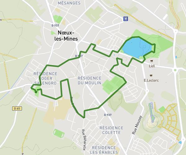
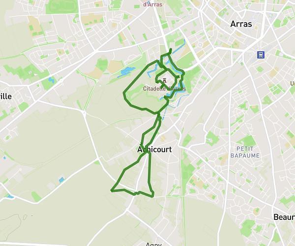
This walking route covers 6.25mi starting from Bois-Bernard, Pas-de-Calais. The walk is a loop trail and returns to the trailhead. This walk is rated as hard, plan for about 1h29m to complete it. The route has an elevation gain of 246ft and an elevation loss of 249ft.
Marche rapide
Route details
14:15/mi
Pace
363 kcal
Calories burned
Loop trail
Route type
138ft
Min altitude
233ft
Max altitude
Route profile
246ft
Elevation gain
249ft
Elevation loss
138ft
Min altitude
233ft
Max altitude
How to get there
Trailhead: 76 Route D'arras, 62320 Bois-Bernard, France
GPS coordinates of the trailhead: 50.38354, 2.90983 / 50°23'0'' N, 2°54'35'' E