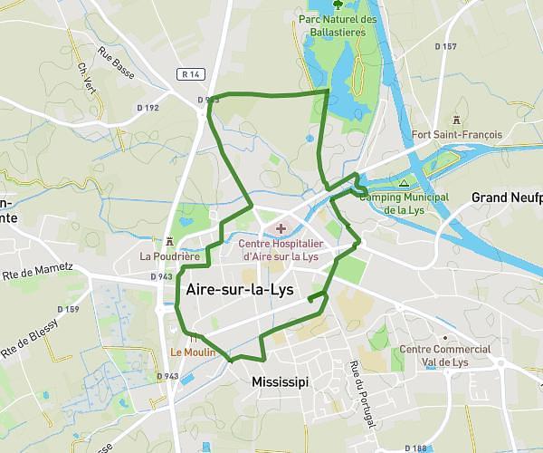
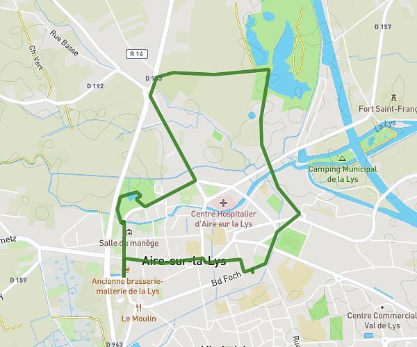
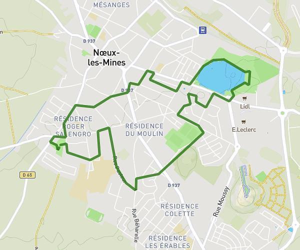
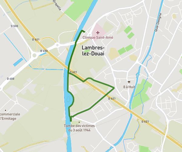
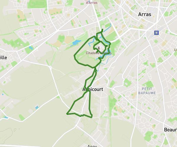
This walking route covers 5.587mi starting from Mazingarbe, Pas-de-Calais. The walk is a loop trail and returns to the trailhead. This walk is rated as hard, plan for about 2h to complete it. The route has an elevation gain of 197ft and an elevation loss of 200ft.
marais vermelle
Route details
21:27/mi
Pace
490 kcal
Calories burned
Loop trail
Route type
72ft
Min altitude
128ft
Max altitude
Route profile
197ft
Elevation gain
200ft
Elevation loss
72ft
Min altitude
128ft
Max altitude
How to get there
Trailhead: 21 Rue Berthelot, 62670 Mazingarbe, France
GPS coordinates of the trailhead: 50.471571, 2.71455 / 50°28'17'' N, 2°42'52'' E