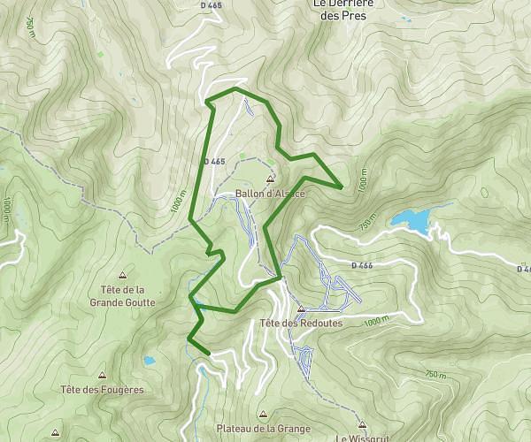
This walking route covers 7.19mi starting from Saint-Étienne-lès-Remiremont, Vosges. The walk is a loop trail and returns to the trailhead. This walk is rated as hard, plan for about 2h34m to complete it. The route has an elevation gain of 1135ft and an elevation loss of 1063ft.
saint sabine
Route details
21:25/mi
Pace
629 kcal
Calories burned
Loop trail
Route type
1352ft
Min altitude
2484ft
Max altitude
Route profile
1135ft
Elevation gain
1063ft
Elevation loss
1352ft
Min altitude
2484ft
Max altitude
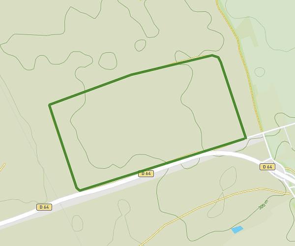
How to get there
Trailhead: 71 Rue Des 5e Et 15e B.C.P., 88200 Saint-Étienne-lès-Remiremont, France
GPS coordinates of the trailhead: 48.0226, 6.61631 / 48°1'21'' N, 6°36'58'' E