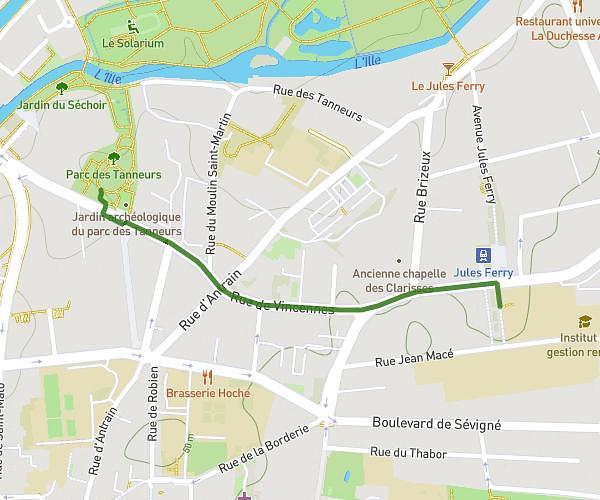
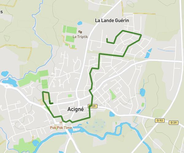
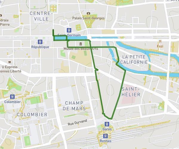
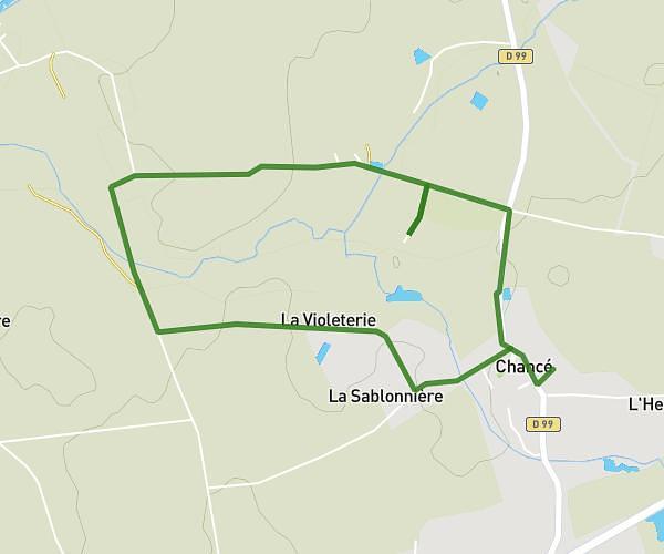
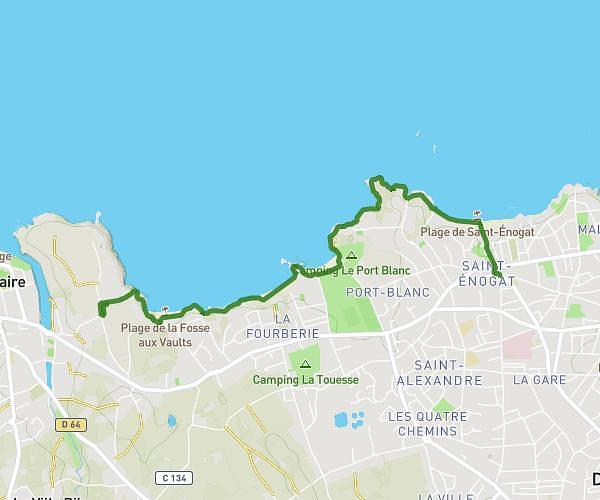
This walking route covers 8.758mi starting from Noyal-Châtillon-sur-Seiche, Ille-et-Vilaine. The walk is a loop trail and returns to the trailhead. This walk is rated as strenuous, plan for about 2h20m to complete it. The route has an elevation gain of 417ft and an elevation loss of 407ft.
la musardiere
Route details
16:06/mi
Pace
576 kcal
Calories burned
Loop trail
Route type
66ft
Min altitude
180ft
Max altitude
Route profile
417ft
Elevation gain
407ft
Elevation loss
66ft
Min altitude
180ft
Max altitude
How to get there
Trailhead: 5 Rue De Rennes, 35230 Noyal-Châtillon-sur-Seiche, France
GPS coordinates of the trailhead: 48.03896, -1.66586 / 48°2'20'' N, 1°39'57'' W