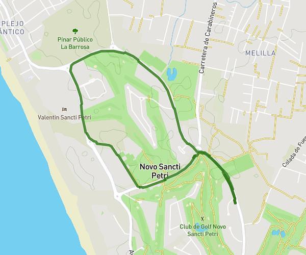
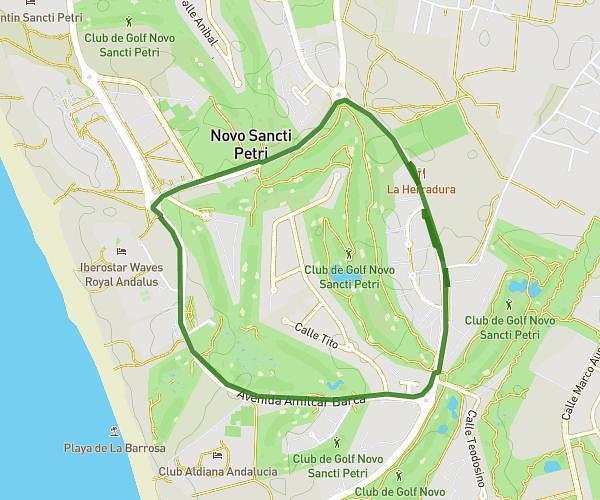
Explore this hiking route of 4.93km starting from Chiclana de la Frontera, Cádiz. The hike is a loop and returns to the starting point. This hike has no defined difficulty level, plan for about 47m to complete it. The route has a positive elevation gain of 38m and a negative elevation loss of 38m.
Día 15 sug
Route details
Route profile
38m
Elevation +
38m
Elevation -
13m
Min altitude
28m
Max altitude
How to get there
Route starting point: Avenida Octavio Augusto, 11139 Chiclana de la Frontera
GPS coordinates of the starting point: 36.35057, -6.15376 / 36°21'2'' N, 6°9'13'' W
Calculate the time to reach the starting point from your location or an address