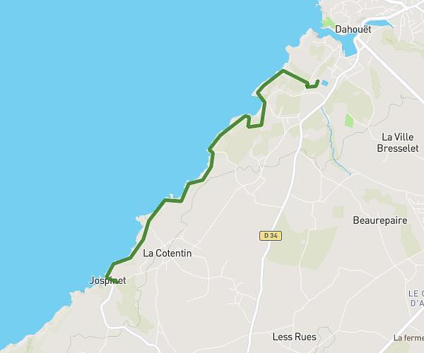
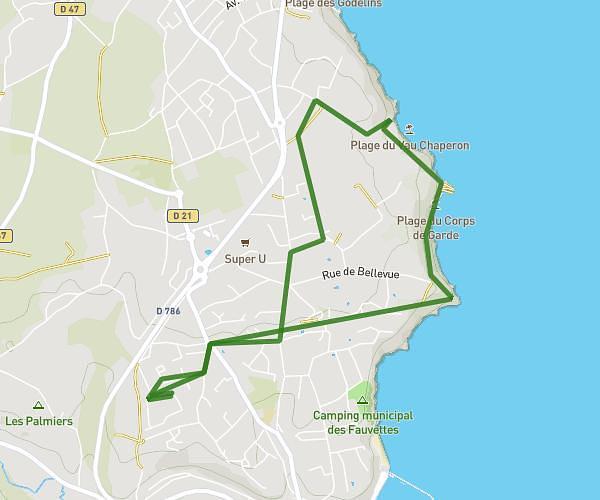
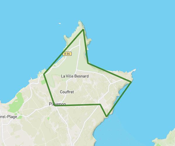
This walking route covers 4.293mi starting from Pléneuf-Val-André, Côtes-d'Armor. The walk is a loop trail and returns to the trailhead. This walk is rated as moderate, plan for about 1h32m to complete it. The route has an elevation gain of 502ft and an elevation loss of 502ft.
balde pleneuf
Route details
21:25/mi
Pace
376 kcal
Calories burned
Loop trail
Route type
0ft
Min altitude
95ft
Max altitude
Route profile
502ft
Elevation gain
502ft
Elevation loss
0ft
Min altitude
95ft
Max altitude
How to get there
Trailhead: Esplanade Du 8 Mai 1945, 22370 Pléneuf-Val-André
GPS coordinates of the trailhead: 48.58361, -2.5578 / 48°35'0'' N, 2°33'28'' W