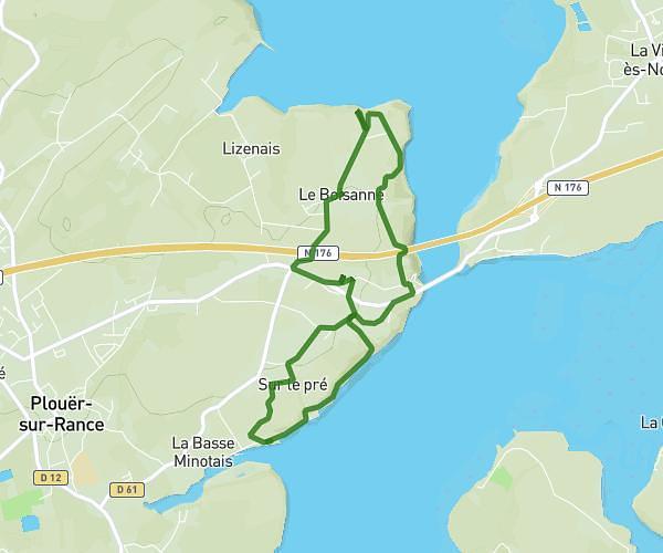
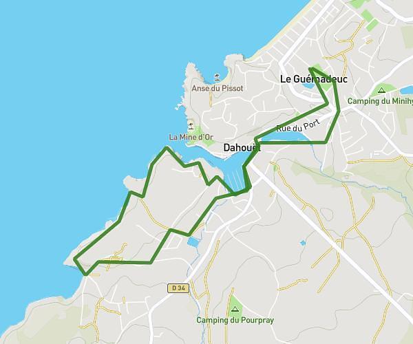
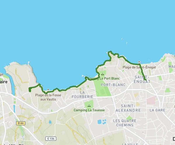
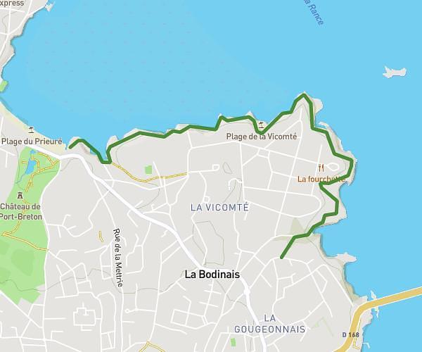
This walking route covers 10.279mi starting from Plévenon, Erquy, Côtes-d'Armor. The walk is a loop trail and returns to the trailhead. This walk is rated as strenuous, plan for about 3h11m to complete it. The route has an elevation gain of 702ft and an elevation loss of 712ft.
boucle cap frehel
Route details
18:34/mi
Pace
780 kcal
Calories burned
Loop trail
Route type
56ft
Min altitude
243ft
Max altitude
Route profile
702ft
Elevation gain
712ft
Elevation loss
56ft
Min altitude
243ft
Max altitude
How to get there
Trailhead: Rue Du Pont Pivet, 22240 Plévenon, France
GPS coordinates of the trailhead: 48.65422, -2.33266 / 48°39'15'' N, 2°19'57'' W