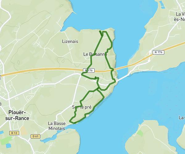
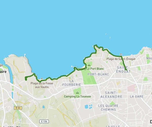
This walking route covers 1.902mi starting from La Richardais, Ille-et-Vilaine. The walk does not return to the trailhead and ends near 3 Avenue De La Vicomté, 35800 Dinard, France. This walk is rated as easy, plan for about 18m to complete it. The route has an elevation gain of 499ft and an elevation loss of 571ft.
La Vicomte Dinard Plage du prieuré
Route details
9:28/mi
Pace
74 kcal
Calories burned
Point to point
Route type
0ft
Min altitude
92ft
Max altitude
Route profile
499ft
Elevation gain
571ft
Elevation loss
0ft
Min altitude
92ft
Max altitude
How to get there
Trailhead: 14 Avenue De La Rance, 35780 La Richardais, France
GPS coordinates of the trailhead: 48.61945, -2.03476 / 48°37'10'' N, 2°2'5'' W