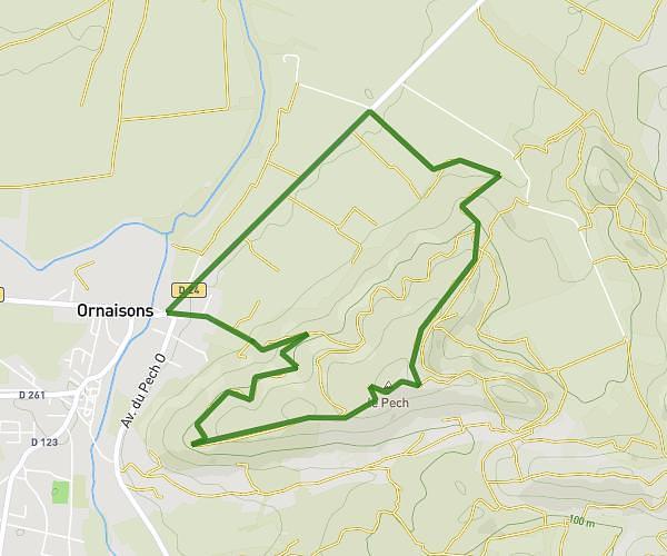
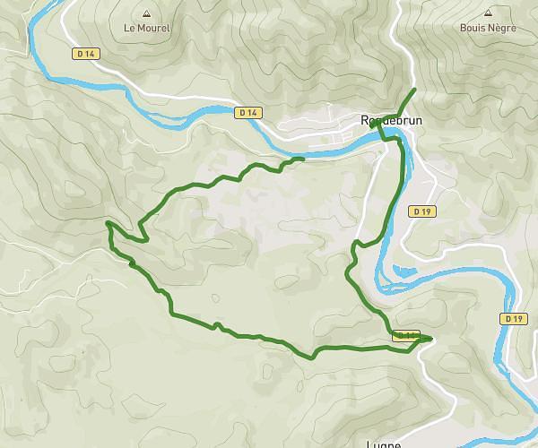
This hiking trail covers 3.577mi starting from Saint-Nazaire-d'Aude, Aude. The hike does not return to the trailhead and ends near 32 Avenue Du Stade, 11120 Saint-Nazaire-d'Aude, France. This hike is rated as easy, plan for about 1h14m to complete it. The route has an elevation gain of 131ft and an elevation loss of 115ft.
Boucle 1
Route details
2.9mph
Speed
524 kcal
Calories burned
1.3%
Avg grade
Point to point
Route type
49ft
Min altitude
89ft
Max altitude
Route profile
131ft
Elevation gain
115ft
Elevation loss
49ft
Min altitude
89ft
Max altitude
How to get there
Trailhead: 45 Rue De La Barque Vieille, 11120 Saint-Nazaire-d'Aude, France
GPS coordinates of the trailhead: 43.242724, 2.89553 / 43°14'33'' N, 2°53'43'' E