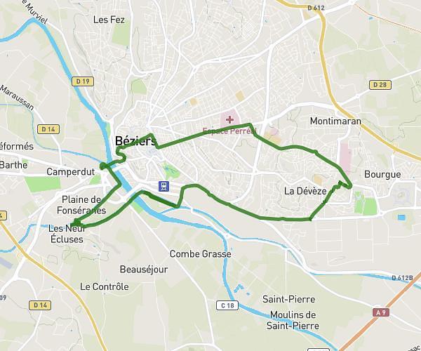
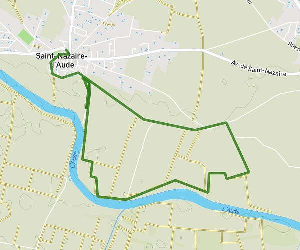
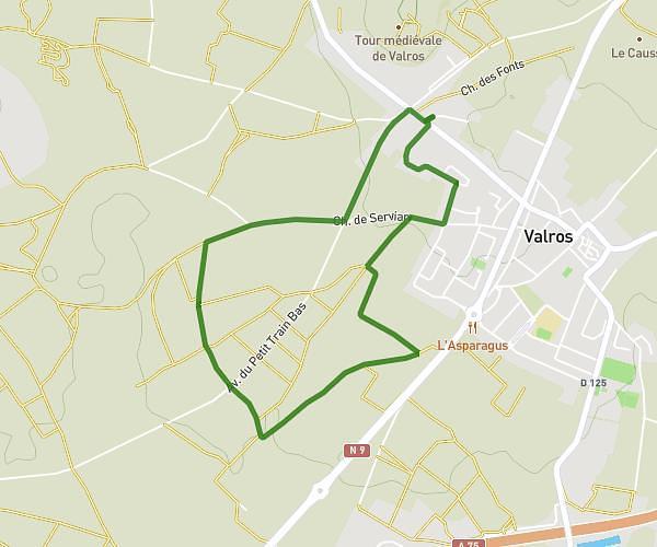
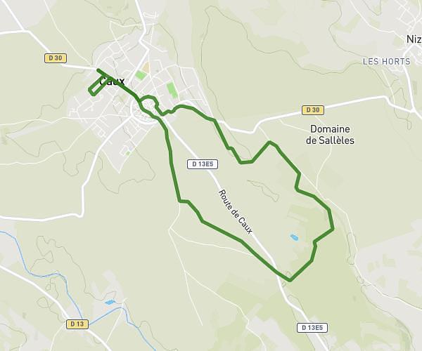
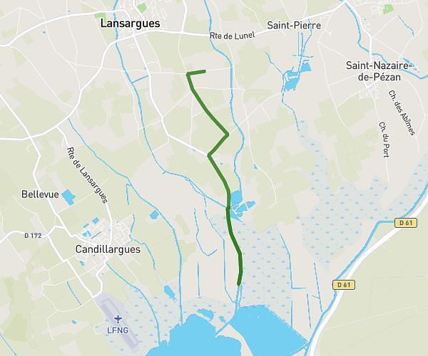
This hiking trail covers 6.818mi starting from Roquebrun, Hérault. The hike does not return to the trailhead and ends near D 19e1, 34460 Roquebrun, France. This hike is rated as easy, plan for about 3h27m to complete it. The route has an elevation gain of 66739ft and an elevation loss of 843ft.
Roquebrun
Route details
2.35mph
Speed
5939 kcal
Calories burned
187.7%
Avg grade
Point to point
Route type
-65617ft
Min altitude
837ft
Max altitude
Steep climb
Route profile
66739ft
Elevation gain
843ft
Elevation loss
-65617ft
Min altitude
837ft
Max altitude
How to get there
Trailhead: 14 Chemin De Campescal, 34460 Roquebrun, France
GPS coordinates of the trailhead: 43.49705, 3.01862 / 43°29'49'' N, 3°1'7'' E