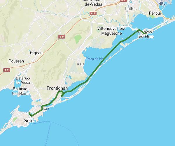
This hiking trail covers 3.182mi starting from Lansargues, Hérault. The hike does not return to the trailhead and ends near Chemin De Lansargues A L’Étang De Mauguio, 34130 Lansargues, France. This hike is rated as easy, plan for about 1h4m to complete it. The route has an elevation gain of 85ft and an elevation loss of 102ft.
Parcours aujourd'hui
Route details
2.98mph
Speed
452 kcal
Calories burned
1.1%
Avg grade
Point to point
Route type
-7ft
Min altitude
23ft
Max altitude
Route profile
85ft
Elevation gain
102ft
Elevation loss
-7ft
Min altitude
23ft
Max altitude
How to get there
Trailhead: Chemin Du Puits Du Roc, 34130 Lansargues, France
GPS coordinates of the trailhead: 43.644345, 4.086606 / 43°38'39'' N, 4°5'11'' E