This walking route covers 3.711mi starting from Savigny-le-Temple, Seine-et-Marne. The walk is a loop trail and returns to the trailhead. This walk is rated as moderate, plan for about 1h20m to complete it. The route has an elevation gain of 125ft and an elevation loss of 121ft.
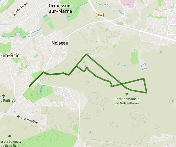
foret de Rougeau 5,9km
Route details
21:33/mi
Pace
327 kcal
Calories burned
Loop trail
Route type
279ft
Min altitude
305ft
Max altitude
Route profile
125ft
Elevation gain
121ft
Elevation loss
279ft
Min altitude
305ft
Max altitude
How to get there
Trailhead: Chemin Des Maisons Forestières, 77176 Savigny-le-Temple, France
GPS coordinates of the trailhead: 48.599308, 2.548321 / 48°35'57'' N, 2°32'53'' E