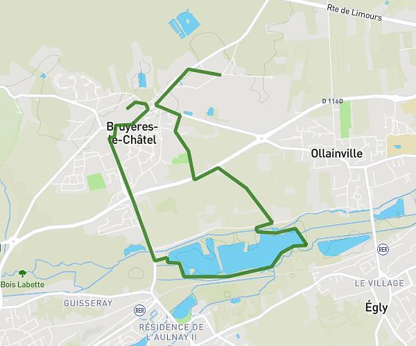
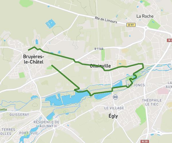
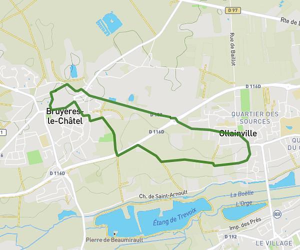
This walking route covers 3.199mi starting from Bruyères-le-Châtel, Essonne. The walk is a loop trail and returns to the trailhead. This walk is rated as moderate, plan for about 1h2m to complete it. The route has an elevation gain of 190ft and an elevation loss of 190ft.
27 avril
Route details
19:23/mi
Pace
253 kcal
Calories burned
Loop trail
Route type
157ft
Min altitude
322ft
Max altitude
Route profile
190ft
Elevation gain
190ft
Elevation loss
157ft
Min altitude
322ft
Max altitude
How to get there
Trailhead: 3n Rue Du Pont Lignol, 91680 Bruyères-le-Châtel, France
GPS coordinates of the trailhead: 48.594668, 2.190644 / 48°35'40'' N, 2°11'26'' E