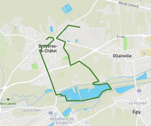
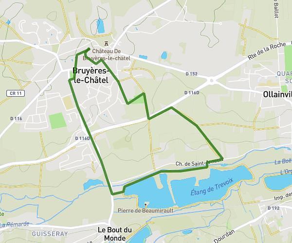
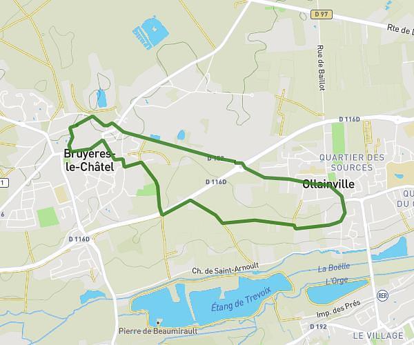
This walking route covers 4.826mi starting from Bruyères-le-Châtel, Essonne. The walk does not return to the trailhead and ends near 12 Rue Du Pont Lignol, 91680 Bruyères-le-Châtel, France. This walk is rated as moderate, plan for about 1h44m to complete it. The route has an elevation gain of 348ft and an elevation loss of 302ft.
25 avril
Route details
21:33/mi
Pace
425 kcal
Calories burned
Point to point
Route type
154ft
Min altitude
351ft
Max altitude
Route profile
348ft
Elevation gain
302ft
Elevation loss
154ft
Min altitude
351ft
Max altitude
How to get there
Trailhead: Chemin Du Jeu De Paume, 91680 Bruyères-le-Châtel, France
GPS coordinates of the trailhead: 48.590664, 2.198088 / 48°35'26'' N, 2°11'53'' E