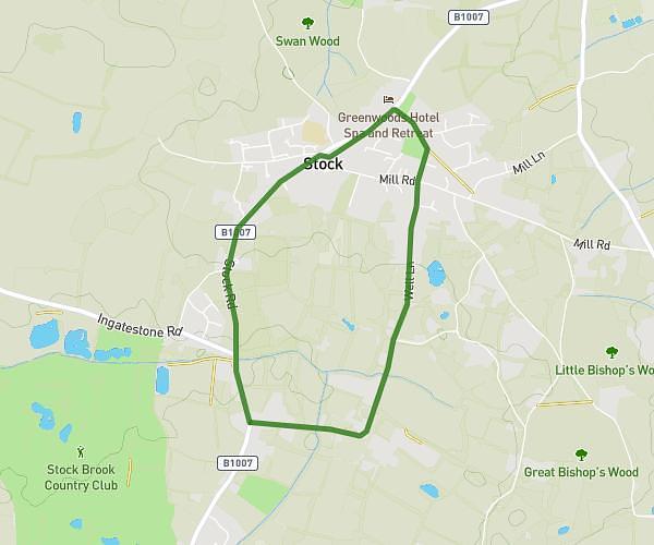
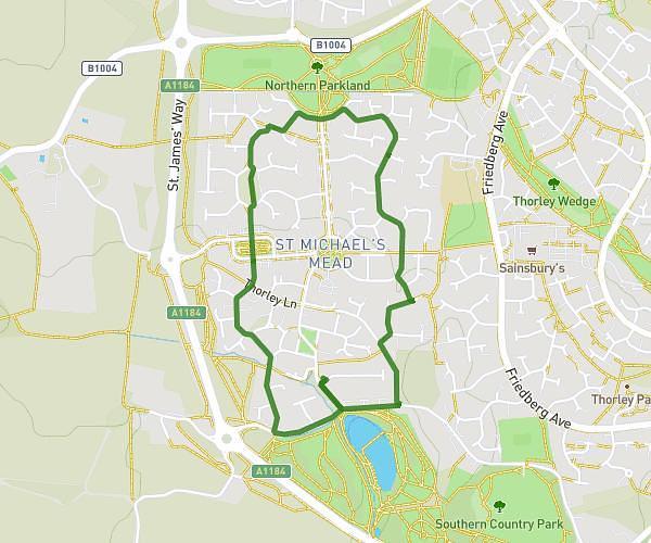
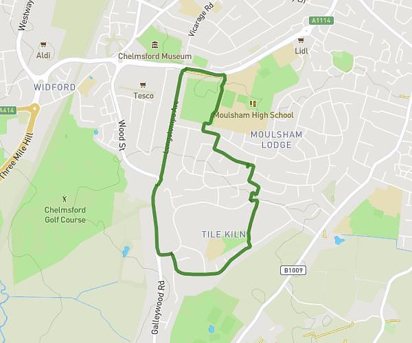
This walking route covers 3.674mi starting from Chelmsford, England. The walk does not return to the trailhead and ends near Parsonage Lane, Little Baddow, Chelmsford, CM3 4SU, United Kingdom. This walk is rated as moderate, plan for about 1h19m to complete it. The route has an elevation gain of 348ft and an elevation loss of 82ft.
Baddow Rita
Route details
21:30/mi
Pace
323 kcal
Calories burned
Point to point
Route type
59ft
Min altitude
348ft
Max altitude
Route profile
348ft
Elevation gain
82ft
Elevation loss
59ft
Min altitude
348ft
Max altitude
How to get there
Trailhead: 1 Sandford Mill Road, Chelmsford, CM2 6NS, United Kingdom
GPS coordinates of the trailhead: 51.732293, 0.506918 / 51°43'56'' N, 0°30'24'' E