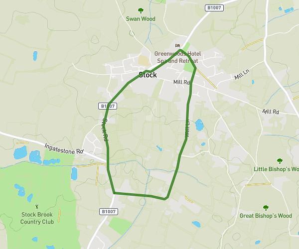
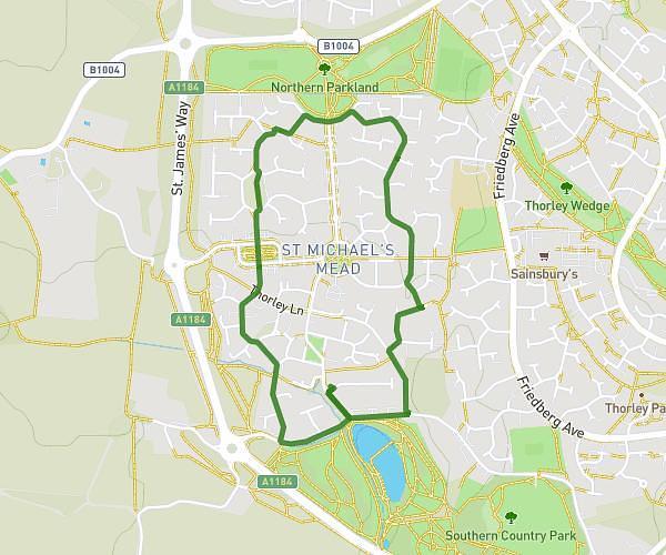
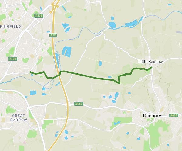
This walking route covers 2.425mi starting from Chelmsford, England. The walk is a loop trail and returns to the trailhead. This walk is rated as easy, plan for about 52m to complete it. The route has an elevation gain of 167ft and an elevation loss of 171ft.
Longstomps
Route details
21:27/mi
Pace
212 kcal
Calories burned
Loop trail
Route type
128ft
Min altitude
236ft
Max altitude
Route profile
167ft
Elevation gain
171ft
Elevation loss
128ft
Min altitude
236ft
Max altitude
How to get there
Trailhead: 26 Juniper Drive, Chelmsford, CM2 9HN, United Kingdom
GPS coordinates of the trailhead: 51.715705, 0.472058 / 51°42'56'' N, 0°28'19'' E