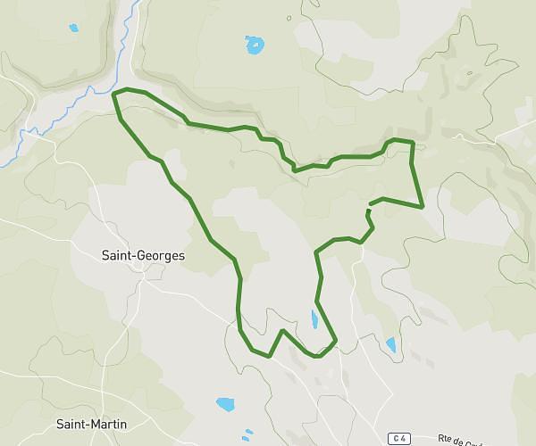
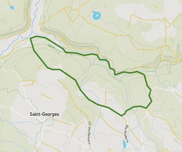
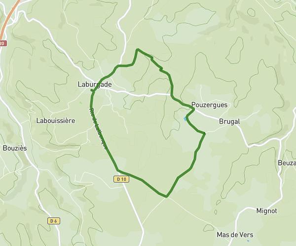
This running route covers 2.753mi starting from Cénevières, Lot. The run is a loop trail and returns to the trailhead. This run is rated as easy, expect about 27m to complete it. The route has an elevation gain of 256ft and an elevation loss of 259ft.
Cènevières
Route details
6.12mph
Speed
309 kcal
Calories burned
Loop trail
Route type
449ft
Min altitude
587ft
Max altitude
Route profile
256ft
Elevation gain
259ft
Elevation loss
449ft
Min altitude
587ft
Max altitude
How to get there
Trailhead: 663 Route De Calvignac, 46330 Cénevières, France
GPS coordinates of the trailhead: 44.46677, 1.7504 / 44°28'0'' N, 1°45'1'' E