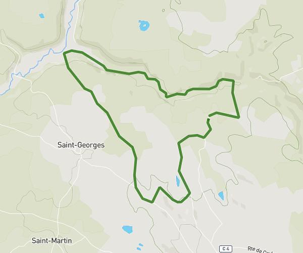
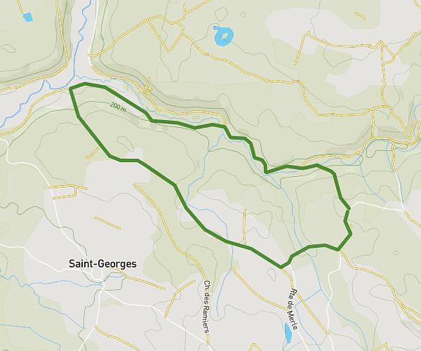
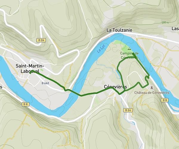
This running route covers 4.987mi starting from Laburgade, Lot. The run is a loop trail and returns to the trailhead. This run is rated as moderate, expect about 53m to complete it. The route has an elevation gain of 115ft and an elevation loss of 105ft.
8kms
Route details
5.65mph
Speed
606 kcal
Calories burned
Loop trail
Route type
794ft
Min altitude
899ft
Max altitude
Route profile
115ft
Elevation gain
105ft
Elevation loss
794ft
Min altitude
899ft
Max altitude
How to get there
Trailhead: 170 Route De Lalbenque, 46230 Laburgade, France
GPS coordinates of the trailhead: 44.385154, 1.539173 / 44°23'6'' N, 1°32'21'' E