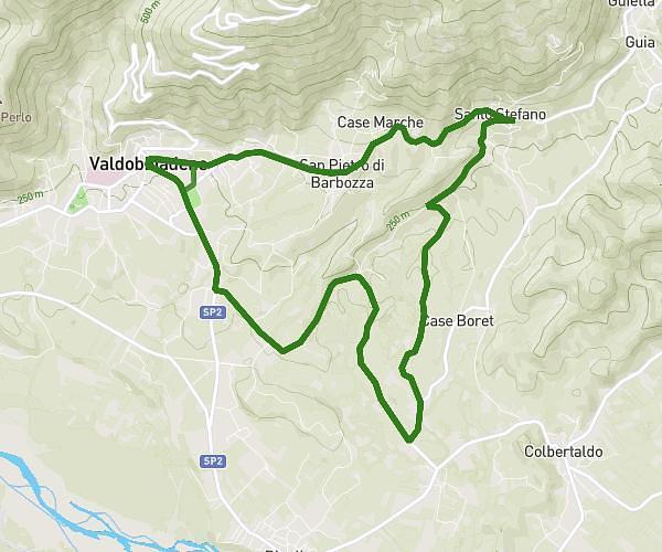
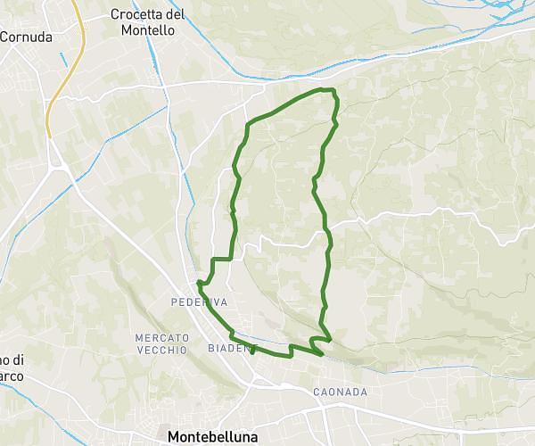
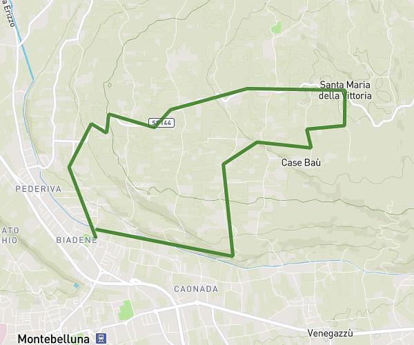
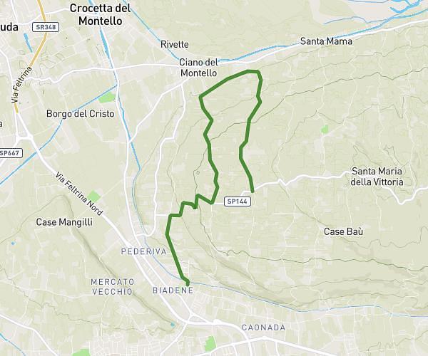
This running route covers 6.967mi starting from Vittorio Veneto, Treviso. The run is a loop trail and returns to the trailhead. This run is rated as moderate, expect about 1h27m to complete it. The route has an elevation gain of 1138ft and an elevation loss of 1142ft.
Vittorio Veneto monte altare
Route details
4.76mph
Speed
1004 kcal
Calories burned
Loop trail
Route type
440ft
Min altitude
968ft
Max altitude
Route profile
1138ft
Elevation gain
1142ft
Elevation loss
440ft
Min altitude
968ft
Max altitude
How to get there
Trailhead: Viale Della Vittoria 132, 31029 Vittorio Veneto Treviso, Italy
GPS coordinates of the trailhead: 45.98912, 12.29542 / 45°59'20'' N, 12°17'43'' E