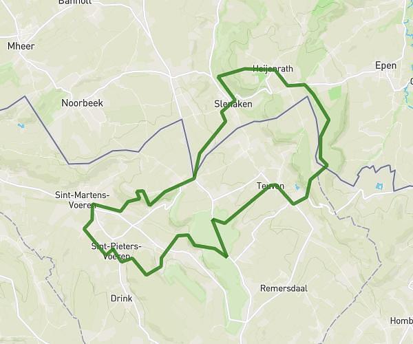
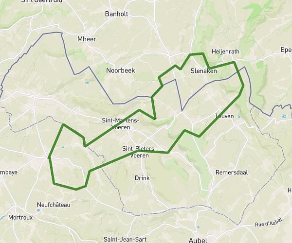
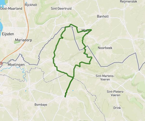
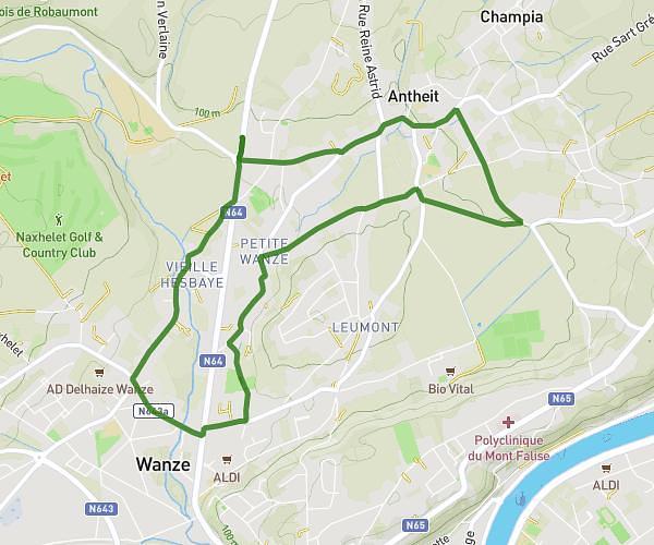
This running route covers 6.775mi starting from Soumagne, Liège. The run is a loop trail and returns to the trailhead. This run is rated as moderate, expect about 1h5m to complete it. The route has an elevation gain of 210ft and an elevation loss of 197ft.
Jogging Soumagne
Route details
6.26mph
Speed
743 kcal
Calories burned
Loop trail
Route type
719ft
Min altitude
919ft
Max altitude
Route profile
210ft
Elevation gain
197ft
Elevation loss
719ft
Min altitude
919ft
Max altitude
How to get there
Trailhead: Rue De La Siroperie 7, 4630 Soumagne, Liege, Belgium
GPS coordinates of the trailhead: 50.63195, 5.73128 / 50°37'55'' N, 5°43'52'' E