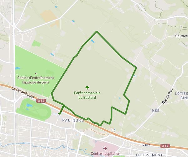
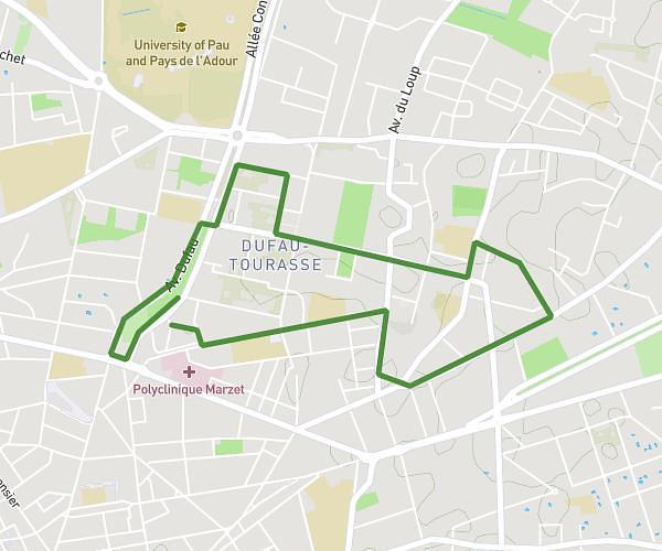
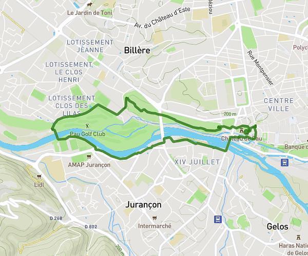
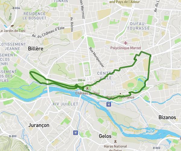
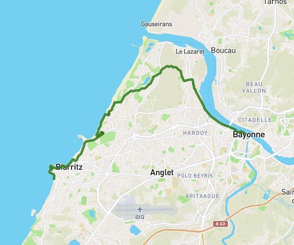
This running route covers 13.236mi starting from Géus-d'Arzacq, Pyrénées-Atlantiques. The run is a loop trail and returns to the trailhead. This run is rated as strenuous, expect about 2h8m to complete it. The route has an elevation gain of 167ft and an elevation loss of 243ft.
La Geussoise 2024
Route details
6.2mph
Speed
1463 kcal
Calories burned
Loop trail
Route type
338ft
Min altitude
505ft
Max altitude
Route profile
167ft
Elevation gain
243ft
Elevation loss
338ft
Min altitude
505ft
Max altitude
How to get there
Trailhead: 77 Cami De Compostelle, 64370 Géus-d'Arzacq, France
GPS coordinates of the trailhead: 43.48284, -0.52218 / 43°28'58'' N, 0°31'19'' W