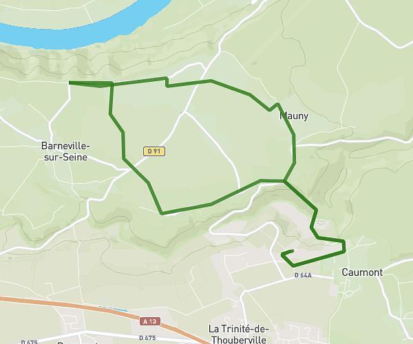
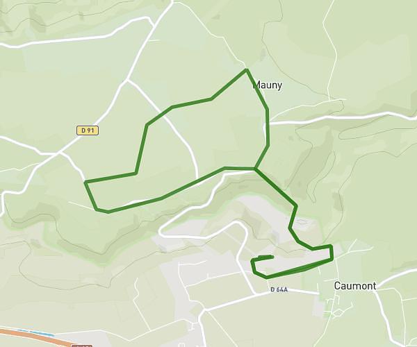
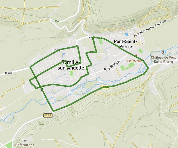
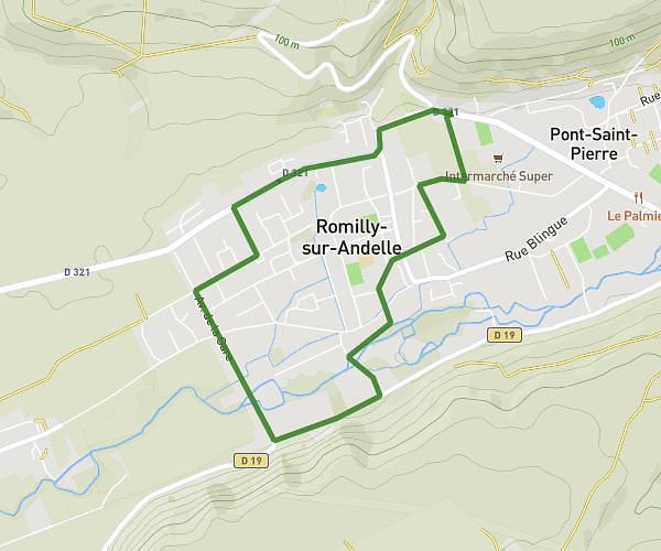
This running route covers 8.486mi starting from Rouen, Seine-Maritime. The run is a loop trail and returns to the trailhead. This run is rated as hard, expect about 1h22m to complete it. The route has an elevation gain of 758ft and an elevation loss of 761ft.
14kms Rouen
Route details
6.21mph
Speed
938 kcal
Calories burned
Loop trail
Route type
128ft
Min altitude
643ft
Max altitude
Route profile
758ft
Elevation gain
761ft
Elevation loss
128ft
Min altitude
643ft
Max altitude
How to get there
Trailhead: 30 Les Coteaux De Repainville, 76000 Rouen, France
GPS coordinates of the trailhead: 49.4342, 1.13115 / 49°26'3'' N, 1°7'52'' E