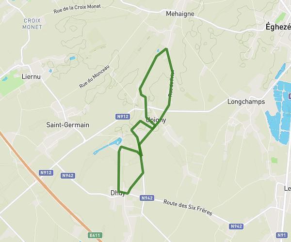
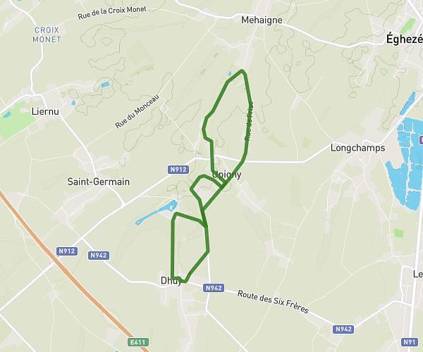
This running route covers 1.291mi starting from Assesse, Namur. The run is a loop trail and returns to the trailhead. This run is rated as easy, expect about 12m to complete it. The route has an elevation gain of 69ft and an elevation loss of 69ft.
Corrida Courrière - 20/04/2024
Route details
6.46mph
Speed
137 kcal
Calories burned
Loop trail
Route type
889ft
Min altitude
928ft
Max altitude
Route profile
69ft
Elevation gain
69ft
Elevation loss
889ft
Min altitude
928ft
Max altitude
How to get there
Trailhead: Rue Du Trieu D'avillon 4, 5336 Assesse, Namur, Belgium
GPS coordinates of the trailhead: 50.39339, 4.9881 / 50°23'36'' N, 4°59'17'' E