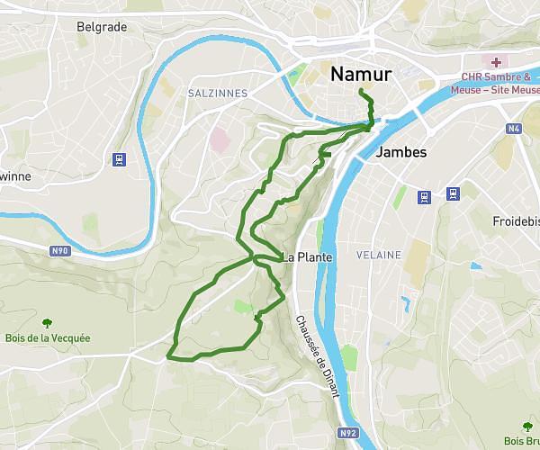
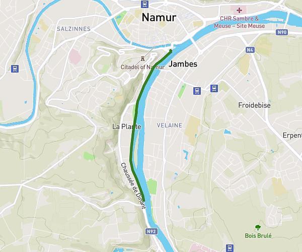
This running route covers 18.136mi starting from Namur, Namur. The run does not return to the trailhead and ends near Chaussée De Gramptinne 160, 5340 Gesves, Namur, Belgium. This run is rated as strenuous, expect about 3h15m to complete it. The route has an elevation gain of 1421ft and an elevation loss of 784ft.
Namur-Gramptinne
Route details
5.58mph
Speed
2230 kcal
Calories burned
Point to point
Route type
240ft
Min altitude
922ft
Max altitude
Route profile
1421ft
Elevation gain
784ft
Elevation loss
240ft
Min altitude
922ft
Max altitude
How to get there
Trailhead: Venelle Des Capucins 1b, 5000 Namur, Namur, Belgium
GPS coordinates of the trailhead: 50.464869, 4.86621 / 50°27'53'' N, 4°51'58'' E