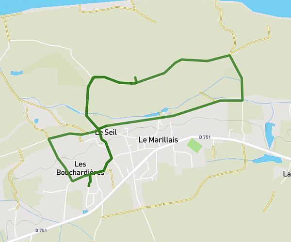
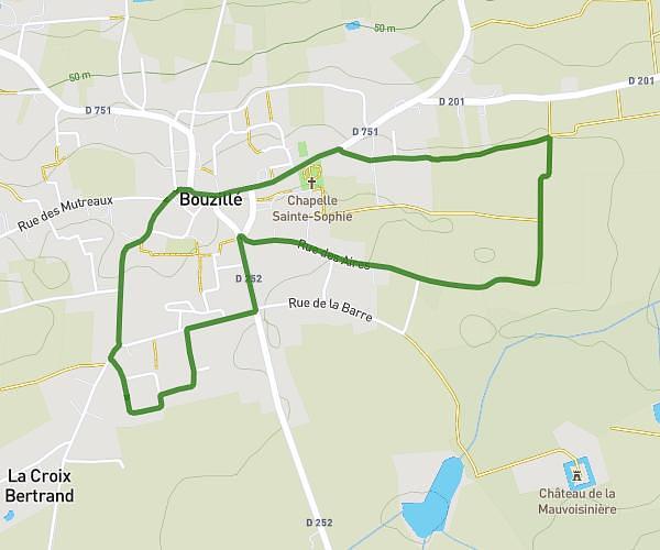
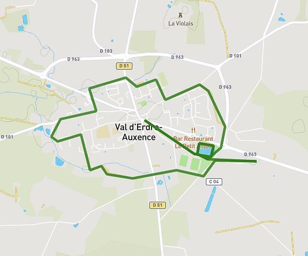
This running route covers 12.033mi starting from Ancenis-Saint-Géréon, Loire-Atlantique. The run is a loop trail and returns to the trailhead. This run is rated as strenuous, expect about 1h56m to complete it. The route has an elevation gain of 59ft and an elevation loss of 39ft.
drain 1
Route details
6.23mph
Speed
1326 kcal
Calories burned
Loop trail
Route type
30ft
Min altitude
69ft
Max altitude
Route profile
59ft
Elevation gain
39ft
Elevation loss
30ft
Min altitude
69ft
Max altitude
How to get there
Trailhead: Rue De Cologne, 44150 Ancenis-Saint-Géréon
GPS coordinates of the trailhead: 47.36779, -1.20223 / 47°22'4'' N, 1°12'8'' W