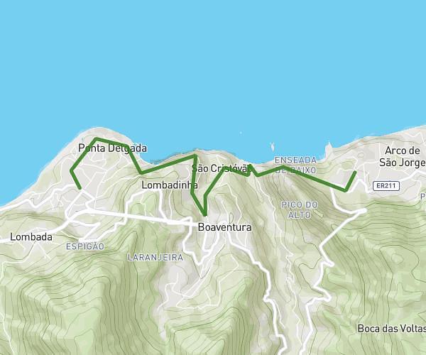
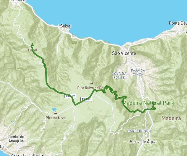
This hiking trail covers 6.373mi starting from Seixal, Madeira. The hike does not return to the trailhead and ends near Er 209 427, 9270-104 Ribeira da Janela, Madeira, Portugal. This hike is rated as strenuous, plan for about 3h25m to complete it. The route has an elevation gain of 2100ft and an elevation loss of 4429ft.
etape 5 : Fanal - Porto Moniz
Route details
1.86mph
Speed
1585 kcal
Calories burned
19.4%
Avg grade
Point to point
Route type
1473ft
Min altitude
3802ft
Max altitude
Steep climb
Route profile
2100ft
Elevation gain
4429ft
Elevation loss
1473ft
Min altitude
3802ft
Max altitude
How to get there
Trailhead: 9270-127, Seixal, Madeira, Portugal
GPS coordinates of the trailhead: 32.81184, -17.14115 / 32°48'42'' N, 17°8'28'' W