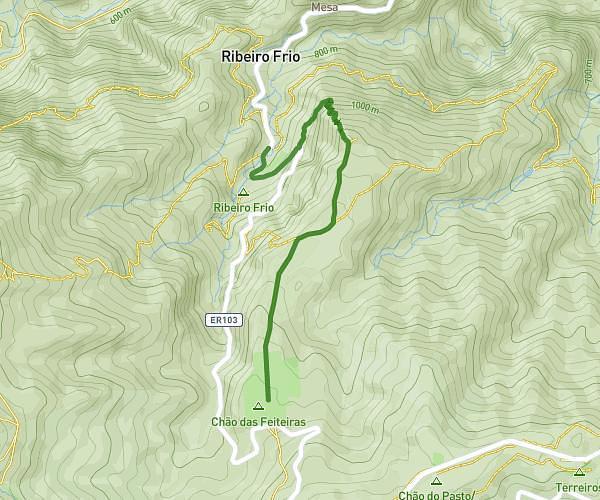
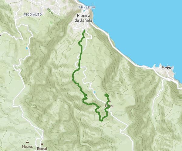
This hiking trail covers 4.089mi starting from Arco de São Jorge, Madeira. The hike does not return to the trailhead and ends near Rua Das Escolas, 9240-120 Ponta Delgada, Madeira, Portugal. This hike is rated as hard, plan for about 2h15m to complete it. The route has an elevation gain of 1752ft and an elevation loss of 1946ft.
Jour 3 soir
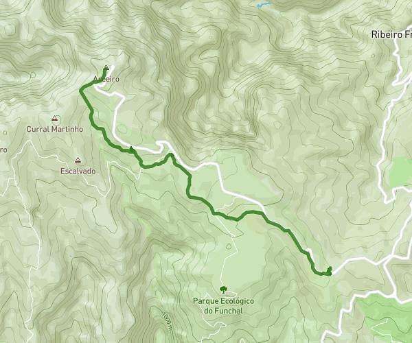
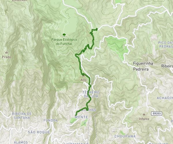
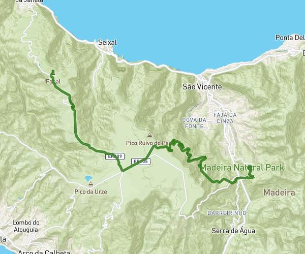
Route details
1.81mph
Speed
1073 kcal
Calories burned
17.1%
Avg grade
Point to point
Route type
52ft
Min altitude
804ft
Max altitude
Steep climb
Route profile
1752ft
Elevation gain
1946ft
Elevation loss
52ft
Min altitude
804ft
Max altitude
How to get there
Trailhead: Rua António Oliveira Jardim 4, 9230-017 Arco de São Jorge, Madeira, Portugal
GPS coordinates of the trailhead: 32.825647, -16.957308 / 32°49'32'' N, 16°57'26'' W