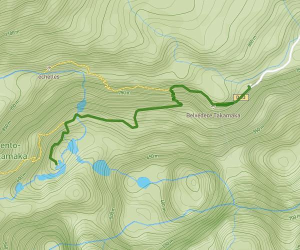
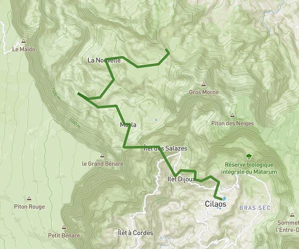
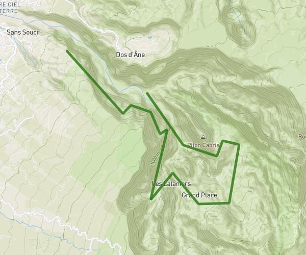
This hiking trail covers 10.975mi starting from La Possession, Reunion. The hike is a loop trail and returns to the trailhead. This hike is rated as strenuous, plan for about 4h to complete it. The route has an elevation gain of 4452ft and an elevation loss of 4449ft.
rando mafate
Route details
2.75mph
Speed
1895 kcal
Calories burned
15.4%
Avg grade
Loop trail
Route type
4606ft
Min altitude
6440ft
Max altitude
Steep climb
Route profile
4452ft
Elevation gain
4449ft
Elevation loss
4606ft
Min altitude
6440ft
Max altitude
How to get there
Trailhead: Route Du Bélier, 97419 La Possession
GPS coordinates of the trailhead: -21.06107, 55.45094 / 21°3'39'' S, 55°27'3'' E