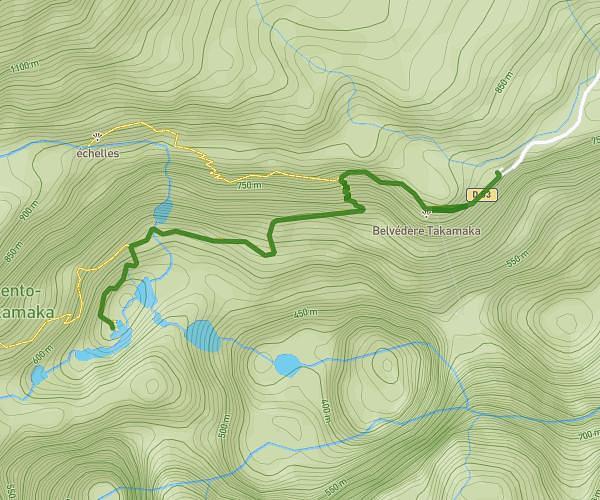
This hiking trail covers 10.157mi starting from Sainte-Rose, Reunion. The hike is a loop trail and returns to the trailhead. This hike is rated as strenuous, plan for about 4h20m to complete it. The route has an elevation gain of 2533ft and an elevation loss of 2533ft.
rando volcan
Route details
2.34mph
Speed
1963 kcal
Calories burned
9.4%
Avg grade
Loop trail
Route type
7257ft
Min altitude
8153ft
Max altitude
Steep climb
Route profile
2533ft
Elevation gain
2533ft
Elevation loss
7257ft
Min altitude
8153ft
Max altitude
How to get there
Trailhead: Route Forestière Du Volcan, 97430, Sainte-Rose, Reunion
GPS coordinates of the trailhead: -21.22547, 55.68459 / 21°13'31'' S, 55°41'4'' E