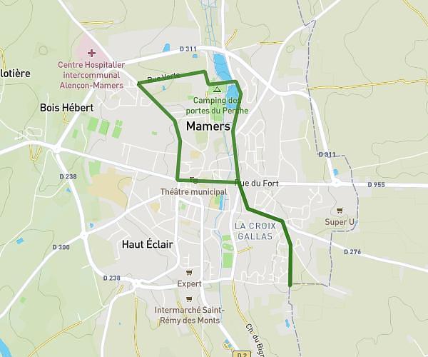
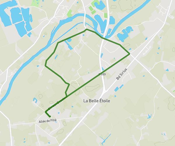
This walking route covers 182.41mi starting from Saint-Jean-d'Assé, Sarthe. The walk does not return to the trailhead and ends near 27 Rue De Domfront, 61800 Tinchebray-Bocage, France. This walk is rated as strenuous, plan for about 2m to complete it. The route has an elevation gain of 6020ft and an elevation loss of 5633ft.
suisse normande
Route details
8 kcal
Calories burned
Point to point
Route type
112ft
Min altitude
1099ft
Max altitude
Route profile
6020ft
Elevation gain
5633ft
Elevation loss
112ft
Min altitude
1099ft
Max altitude
How to get there
Trailhead: 3 Rue De La Croix Blanche, 72380 Saint-Jean-d'Assé, France
GPS coordinates of the trailhead: 48.15134, 0.12086 / 48°9'4'' N, 0°7'15'' E