MapPlanner
15.781mi
Distance
1h18m
Duration
12.0mph
Speed
+561ft
Elevation gain
-673ft
Elevation loss
Easy
Level

College Park to South Capitol St

Route details

697 kcal
Calories burned
1.5%
Avg grade
Point to point
Route type
-7ft
Min altitude
144ft
Max altitude

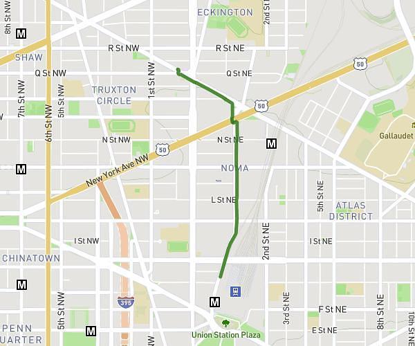
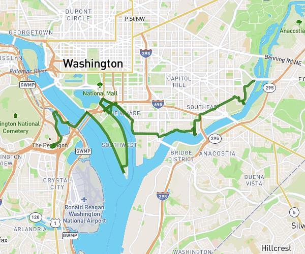
This cycling route covers 15.781mi starting from College Park, Maryland. The ride does not return to the trailhead and ends near South Capitol Street Southeast, 20003 Washington. This route is rated as easy, plan for about 1h18m to complete it. The route has an elevation gain of 561ft and an elevation loss of 673ft.

Description of the route by the creator

Paint Branch Trail to Anacostia River Trail in DC.

Route profile

561ft
Elevation gain
673ft
Elevation loss
-7ft
Min altitude
144ft
Max altitude

How to get there

Trailhead: Cherry Hill Road, 20705 College Park

GPS coordinates of the trailhead: 39.01711, -76.93283 / 39°1'1'' N, 76°55'58'' W

Caution: May Cross Private Property

This route may pass through or near private property. Always respect posted signs, obtain permission where required, and follow local trespassing laws. MapPlanner does not guarantee public access along any route.

Safety Notice

Trail and road conditions may change without notice due to weather, construction, or other factors. Always verify current conditions before heading out. You are responsible for your own safety — follow local signage, obey traffic laws, and use your best judgment on the trail.