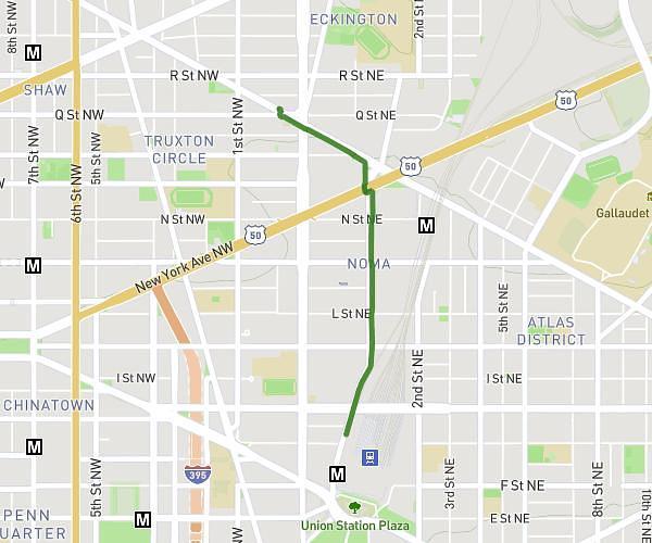
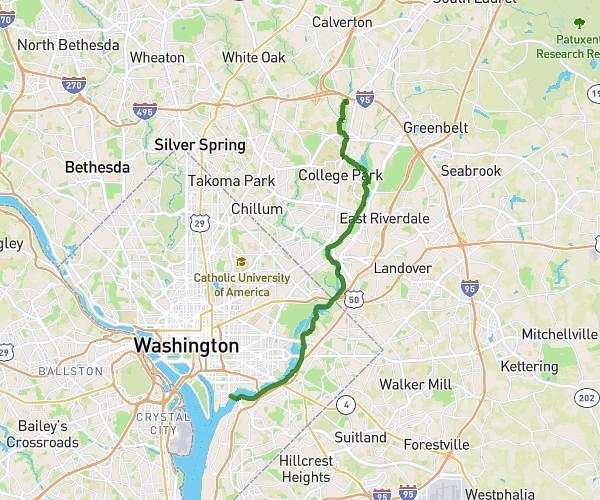
This cycling route covers 14.649mi starting from Arlington, Virginia. The ride does not return to the trailhead and ends near Independence Avenue Southeast, 20003 Washington. This route is rated as moderate, plan for about 1h27m to complete it. The route has an elevation gain of 489ft and an elevation loss of 509ft.
Pentagon2RFK
Route details
776 kcal
Calories burned
1.3%
Avg grade
Point to point
Route type
-3ft
Min altitude
72ft
Max altitude
Route profile
489ft
Elevation gain
509ft
Elevation loss
-3ft
Min altitude
72ft
Max altitude
How to get there
Trailhead: Pentagon Access Road, 22202 Arlington
GPS coordinates of the trailhead: 38.86859, -77.05283 / 38°52'6'' N, 77°3'10'' W