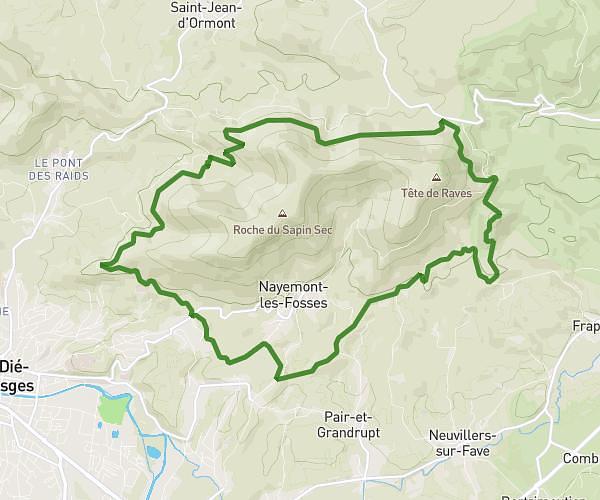
This running route covers 7.433mi starting from Hurbache, Vosges. The run is a loop trail and returns to the trailhead. This run is rated as moderate, expect about 1h50m to complete it. The route has an elevation gain of 1660ft and an elevation loss of 1660ft.
camp celtique
Route details
4.04mph
Speed
1262 kcal
Calories burned
Loop trail
Route type
1394ft
Min altitude
2146ft
Max altitude
Route profile
1660ft
Elevation gain
1660ft
Elevation loss
1394ft
Min altitude
2146ft
Max altitude
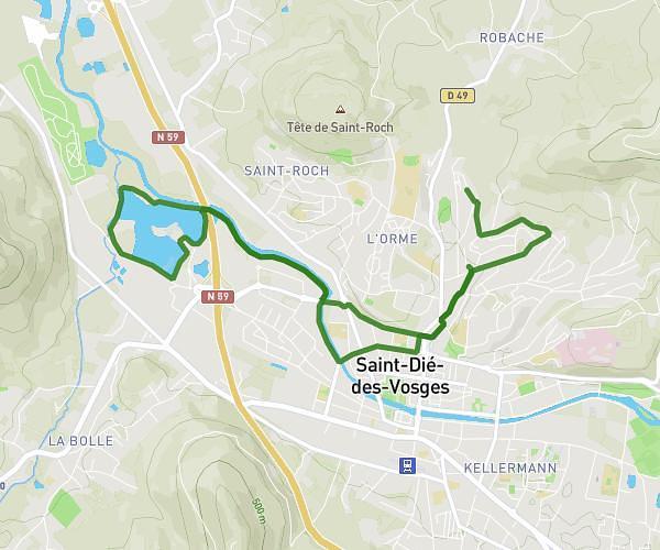
How to get there
Trailhead: Route Forestière De La Crénée, 88210 Hurbache, France
GPS coordinates of the trailhead: 48.324256, 6.953873 / 48°19'27'' N, 6°57'13'' E