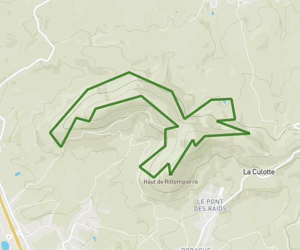
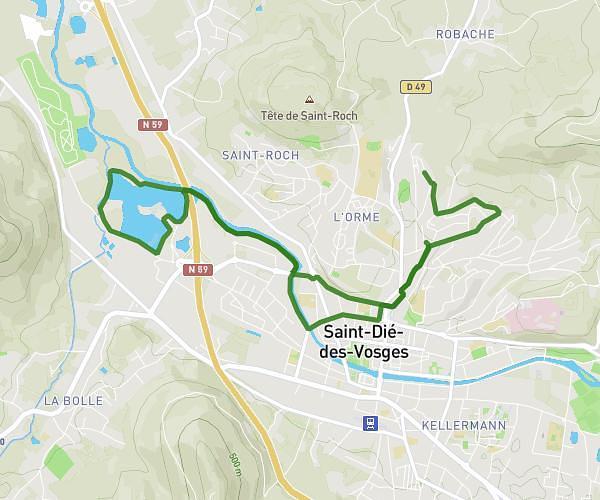
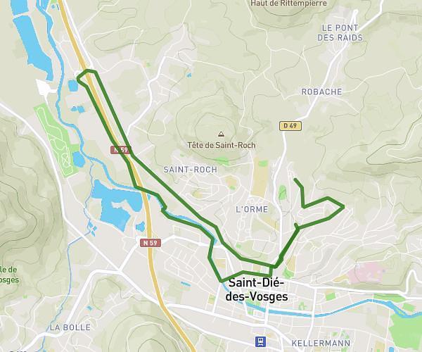
This running route covers 12.585mi starting from Saint-Dié-des-Vosges, Vosges. The run is a loop trail and returns to the trailhead. This run is rated as strenuous, expect about 2h55m to complete it. The route has an elevation gain of 420ft and an elevation loss of 597ft.
tour de l'ormont
Route details
4.31mph
Speed
2004 kcal
Calories burned
Loop trail
Route type
1496ft
Min altitude
2093ft
Max altitude
Route profile
420ft
Elevation gain
597ft
Elevation loss
1496ft
Min altitude
2093ft
Max altitude
How to get there
Trailhead: 149 Route Des Molières, 88100 Saint-Dié-des-Vosges, France
GPS coordinates of the trailhead: 48.315235, 6.989578 / 48°18'54'' N, 6°59'22'' E