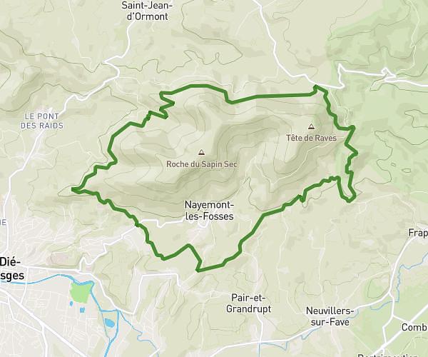
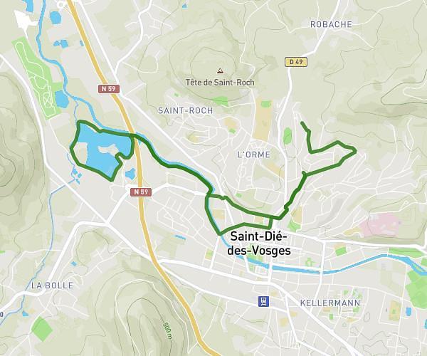
This running route covers 6.282mi starting from Saint-Dié-des-Vosges, Vosges. The run does not return to the trailhead and ends near 3 Chemin Du Château, 88100 Saint-Dié-des-Vosges, France. This run is rated as moderate, expect about 1h7m to complete it. The route has an elevation gain of 69ft and an elevation loss of 154ft.
Avenue Verdun, Base inter, chemin meurthe sortie caserne
Route details
5.59mph
Speed
771 kcal
Calories burned
Point to point
Route type
1066ft
Min altitude
1220ft
Max altitude
Route profile
69ft
Elevation gain
154ft
Elevation loss
1066ft
Min altitude
1220ft
Max altitude
How to get there
Trailhead: 21 Rue Pierre De Blarru, 88100 Saint-Dié-des-Vosges, France
GPS coordinates of the trailhead: 48.29854, 6.95346 / 48°17'54'' N, 6°57'12'' E