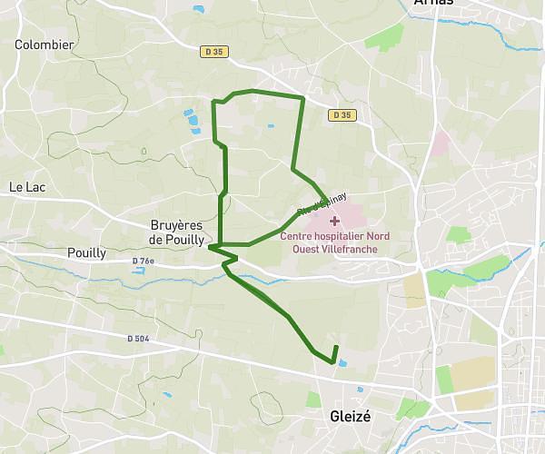
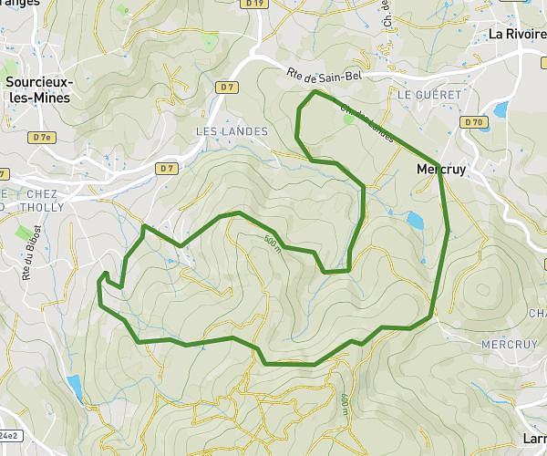
This hiking trail covers 5.886mi starting from Dommartin, Rhône. The hike is a loop trail and returns to the trailhead. This hike is rated as moderate, plan for about 2h4m to complete it. The route has an elevation gain of 696ft and an elevation loss of 699ft.
La bergeonniere
Route details
2.85mph
Speed
900 kcal
Calories burned
4.5%
Avg grade
Loop trail
Route type
837ft
Min altitude
1129ft
Max altitude
Route profile
696ft
Elevation gain
699ft
Elevation loss
837ft
Min altitude
1129ft
Max altitude
How to get there
Trailhead: 901 Rue De Malataverne, 69380 Dommartin, France
GPS coordinates of the trailhead: 45.82946, 4.71167 / 45°49'46'' N, 4°42'42'' E