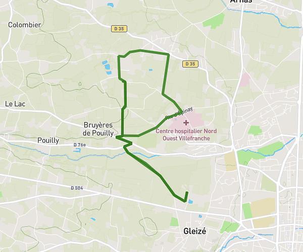
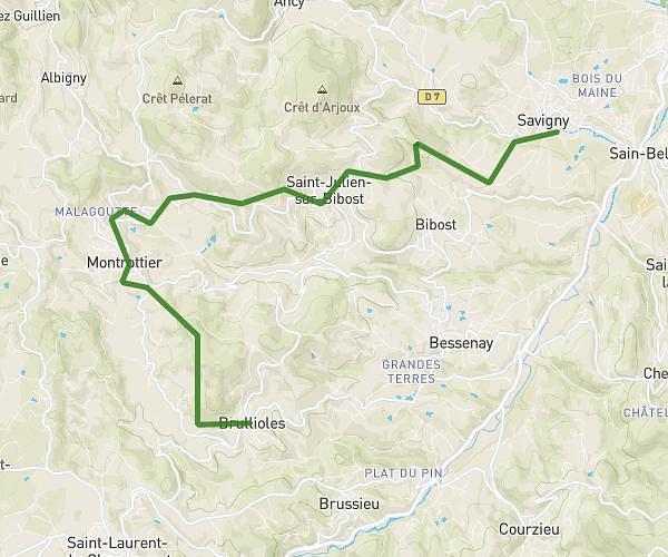
This hiking trail covers 5.488mi starting from Lentilly, Rhône. The hike is a loop trail and returns to the trailhead. This hike is rated as hard, plan for about 2h12m to complete it. The route has an elevation gain of 1207ft and an elevation loss of 1207ft.
Boucle Lentilly Mercruy 9 km
Route details
2.49mph
Speed
992 kcal
Calories burned
8.3%
Avg grade
Loop trail
Route type
1188ft
Min altitude
1886ft
Max altitude
Steep climb
Route profile
1207ft
Elevation gain
1207ft
Elevation loss
1188ft
Min altitude
1886ft
Max altitude
How to get there
Trailhead: 1173 Chemin Des Landes, 69210 Lentilly, France
GPS coordinates of the trailhead: 45.803676, 4.648566 / 45°48'13'' N, 4°38'54'' E