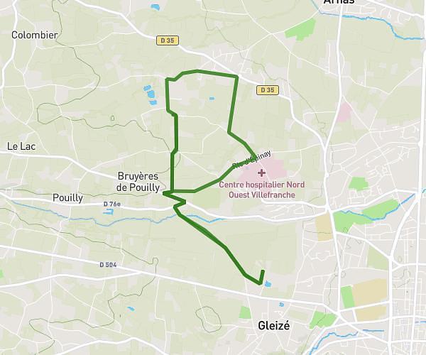
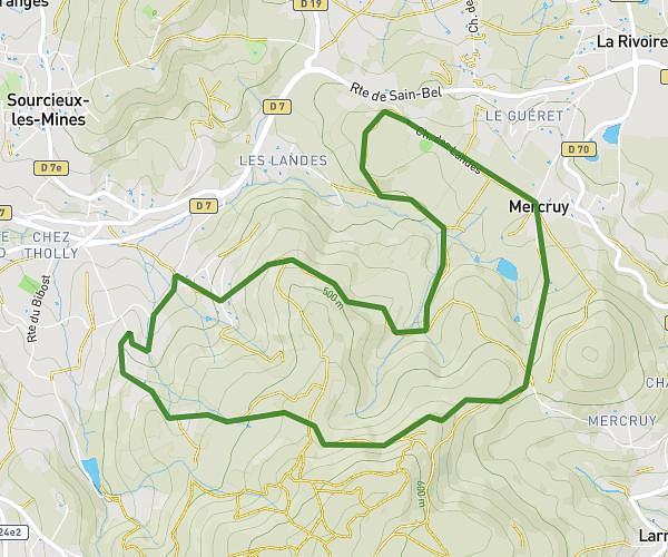
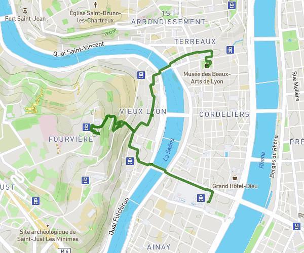
This hiking trail covers 11.262mi starting from Savigny, Rhône. The hike does not return to the trailhead and ends near 20 Rue De La Chapelle, 69690 Brullioles, France. This hike is rated as strenuous, plan for about 4h31m to complete it. The route has an elevation gain of 3035ft and an elevation loss of 2110ft.
De Savigny à Brullioles 18 km
Route details
2.49mph
Speed
2065 kcal
Calories burned
8.7%
Avg grade
Point to point
Route type
883ft
Min altitude
2415ft
Max altitude
Steep climb
Route profile
3035ft
Elevation gain
2110ft
Elevation loss
883ft
Min altitude
2415ft
Max altitude
How to get there
Trailhead: Rue Benoit Maillard, 69210 Savigny, France
GPS coordinates of the trailhead: 45.814181, 4.578163 / 45°48'51'' N, 4°34'41'' E