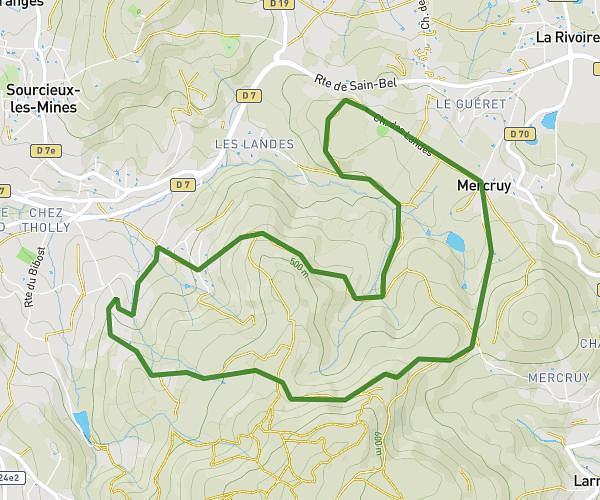
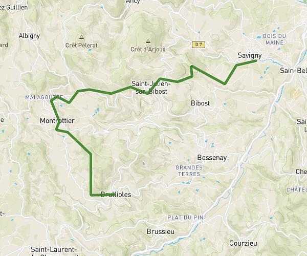
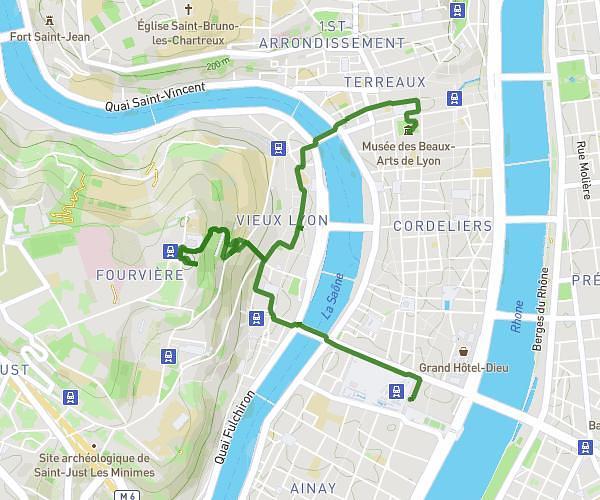
This hiking trail covers 6.104mi starting from Arnas, Rhône. The hike does not return to the trailhead and ends near 1986 Route D'épinay, 69400 Arnas, France. This hike is rated as moderate, plan for about 2h14m to complete it. The route has an elevation gain of 538ft and an elevation loss of 528ft.
promettantes
Route details
2.73mph
Speed
964 kcal
Calories burned
3.3%
Avg grade
Point to point
Route type
686ft
Min altitude
827ft
Max altitude
Route profile
538ft
Elevation gain
528ft
Elevation loss
686ft
Min altitude
827ft
Max altitude
How to get there
Trailhead: 652 Route Des Rues, 69400 Arnas, France
GPS coordinates of the trailhead: 46.011241, 4.681748 / 46°0'40'' N, 4°40'54'' E