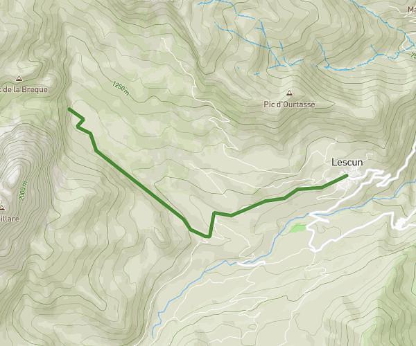
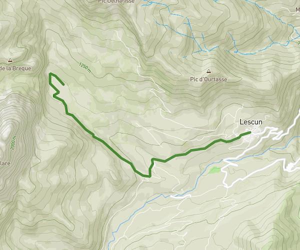
This walking route covers 2.753mi starting from Arette, Pyrénées-Atlantiques. The walk is a loop trail and returns to the trailhead. This walk is rated as easy, plan for about 1h21m to complete it. The route has an elevation gain of 1962ft and an elevation loss of 2110ft.
Autour du Soum de Casteigts
Route details
29:32/mi
Pace
332 kcal
Calories burned
Loop trail
Route type
1322ft
Min altitude
2106ft
Max altitude
Route profile
1962ft
Elevation gain
2110ft
Elevation loss
1322ft
Min altitude
2106ft
Max altitude
How to get there
Trailhead: Chemin Bayres, 64570 Arette
GPS coordinates of the trailhead: 43.09932, -0.70332 / 43°5'57'' N, 0°42'11'' W