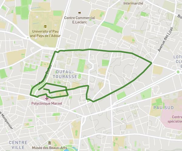
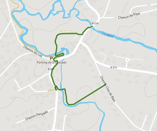
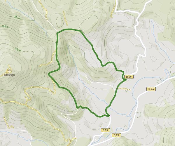
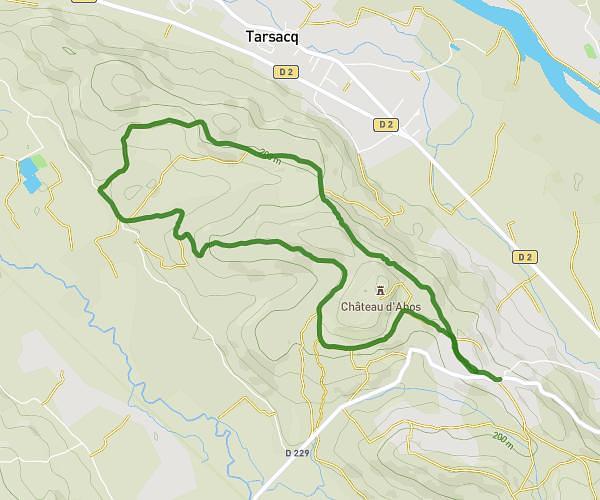
This walking route covers 5.494mi starting from Aubertin, Pyrénées-Atlantiques. The walk is a loop trail and returns to the trailhead. This walk is rated as hard, plan for about 1h57m to complete it. The route has an elevation gain of 692ft and an elevation loss of 689ft.
Boucle l'artillerie
Route details
21:19/mi
Pace
478 kcal
Calories burned
Loop trail
Route type
551ft
Min altitude
968ft
Max altitude
Route profile
692ft
Elevation gain
689ft
Elevation loss
551ft
Min altitude
968ft
Max altitude
How to get there
Trailhead: Route Des Pyrénées, 64290 Aubertin
GPS coordinates of the trailhead: 43.28975, -0.48289 / 43°17'23'' N, 0°28'58'' W