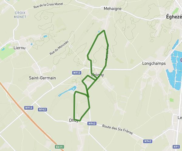
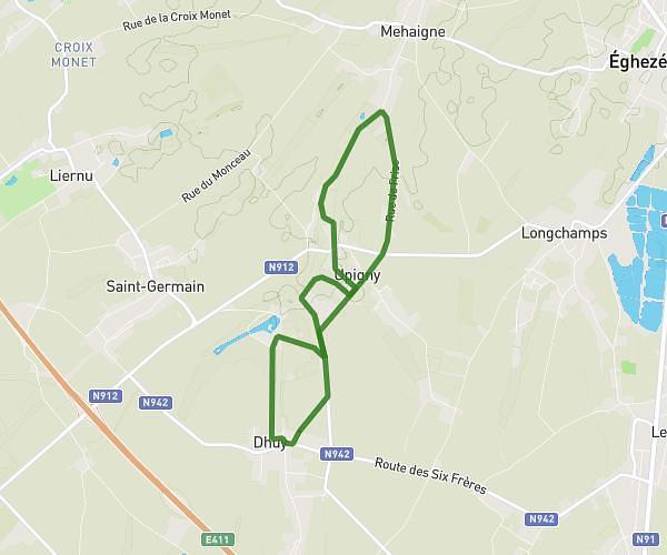
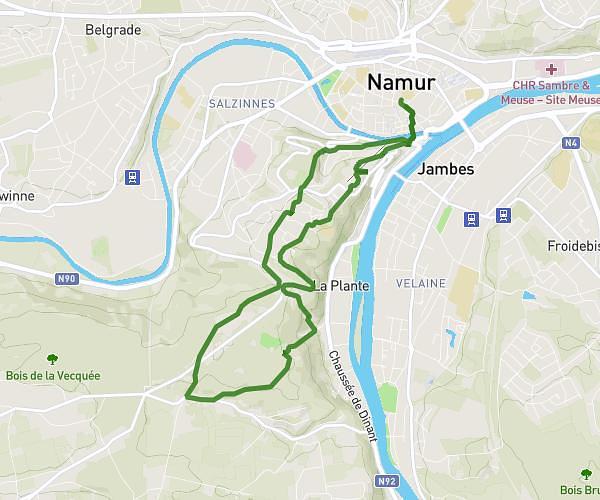
This running route covers 3.063mi starting from Namur, Namur. The run is a loop trail and returns to the trailhead. This run is rated as easy, expect about 32m51s to complete it. The route has an elevation gain of 13ft and an elevation loss of 16ft.
5km
Route details
5.59mph
Speed
376 kcal
Calories burned
Loop trail
Route type
259ft
Min altitude
272ft
Max altitude
Route profile
13ft
Elevation gain
16ft
Elevation loss
259ft
Min altitude
272ft
Max altitude
How to get there
Trailhead: Avenue Reine Astrid 4, 5000 Namur, Namur, Belgium
GPS coordinates of the trailhead: 50.462404, 4.858134 / 50°27'44'' N, 4°51'29'' E