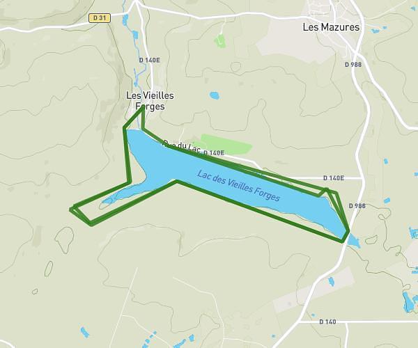
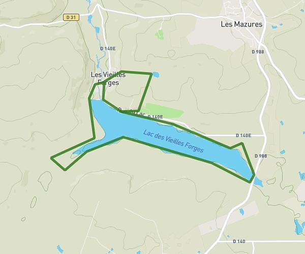
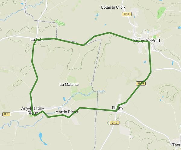
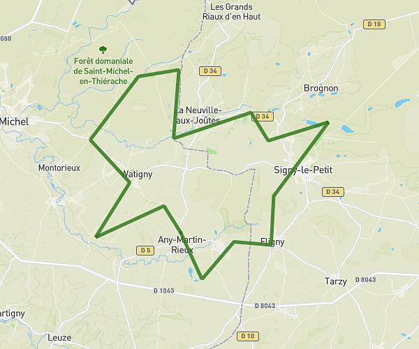
This cycling route covers 5.846mi starting from Any-Martin-Rieux, Aisne. The ride is a loop trail and returns to the trailhead. This route is rated as easy, plan for about 56m to complete it. The route has an elevation gain of 282ft and an elevation loss of 282ft.
Parcours 3
Route details
496 kcal
Calories burned
1.8%
Avg grade
Loop trail
Route type
682ft
Min altitude
873ft
Max altitude
Route profile
282ft
Elevation gain
282ft
Elevation loss
682ft
Min altitude
873ft
Max altitude
How to get there
Trailhead: 25 Rue Du 11 Novembre, 02500 Any-Martin-Rieux, France
GPS coordinates of the trailhead: 49.88458, 4.22028 / 49°53'4'' N, 4°13'13'' E