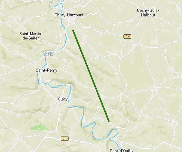
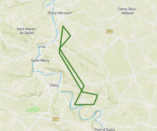
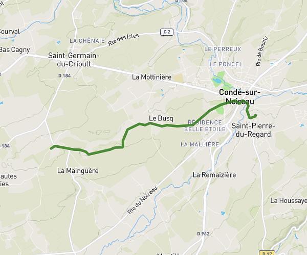
This cycling route covers 8.513mi starting from Saint-Pierre-du-Regard, Orne. The ride does not return to the trailhead and ends near 20 Rue De La Géroudière, 61100 Flers, France. This route is rated as easy, plan for about 51m to complete it. The route has an elevation gain of 456ft and an elevation loss of 177ft.
départ brevet fédéral
Route details
452 kcal
Calories burned
1.4%
Avg grade
Point to point
Route type
351ft
Min altitude
709ft
Max altitude
Route profile
456ft
Elevation gain
177ft
Elevation loss
351ft
Min altitude
709ft
Max altitude
How to get there
Trailhead: 35 Rue De Saint-Mandé, 61790 Saint-Pierre-du-Regard, France
GPS coordinates of the trailhead: 48.845452, -0.546309 / 48°50'43'' N, 0°32'46'' W