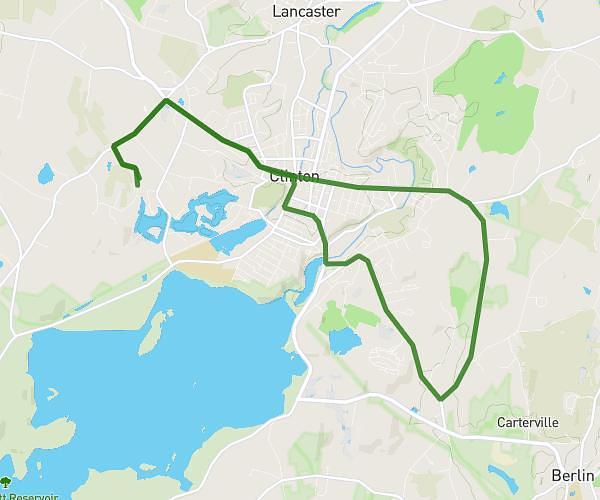
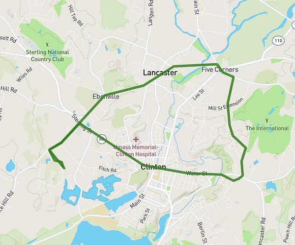
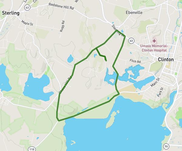
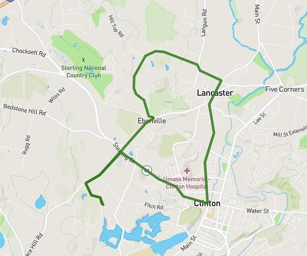
This cycling route covers 13.527mi starting from Lancaster, Massachusetts. The ride is a loop trail and returns to the trailhead. This route is rated as hard, plan for about 1h15m to complete it. The route has an elevation gain of 1014ft and an elevation loss of 1007ft.
neck rd by town hall
Route details
669 kcal
Calories burned
2.8%
Avg grade
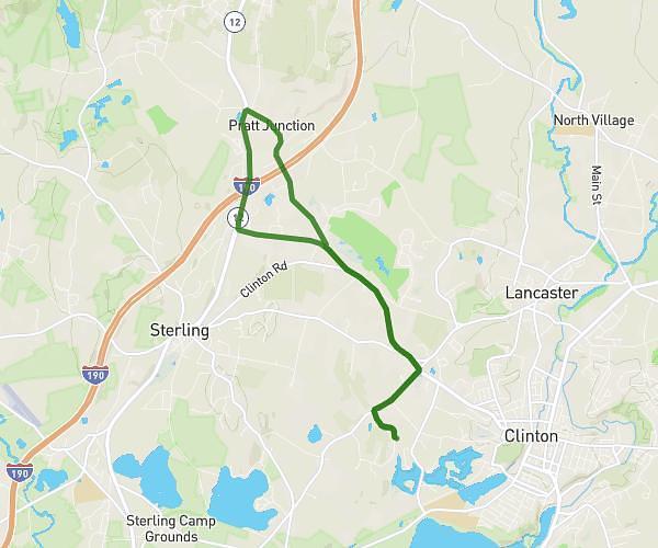
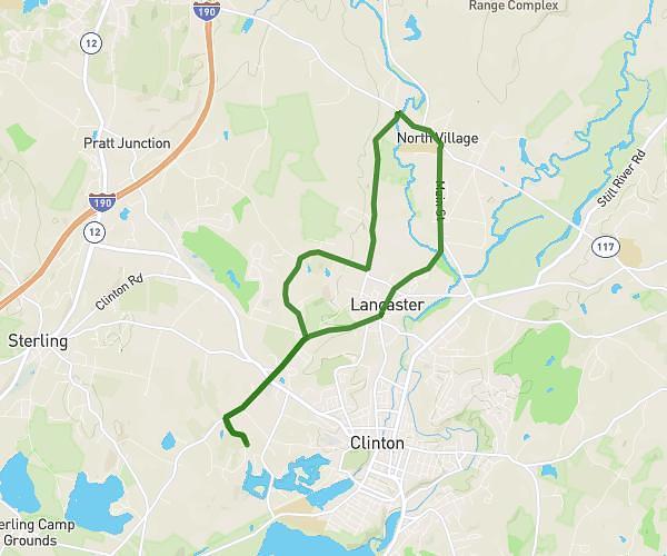
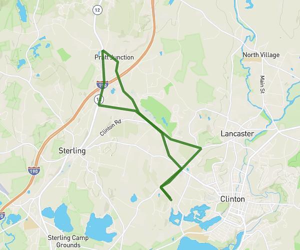
Loop trail
Route type
233ft
Min altitude
505ft
Max altitude
Route profile
1014ft
Elevation gain
1007ft
Elevation loss
233ft
Min altitude
505ft
Max altitude
How to get there
Trailhead: 25 Runaway Brook Road, Lancaster, Massachusetts 01523, United States
GPS coordinates of the trailhead: 42.420954, -71.715453 / 42°25'15'' N, 71°42'55'' W