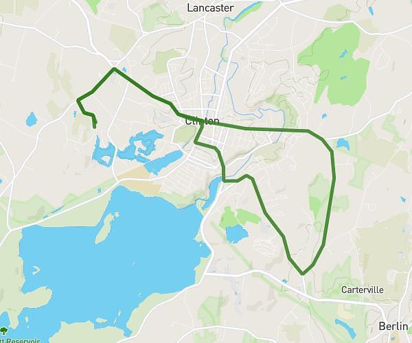
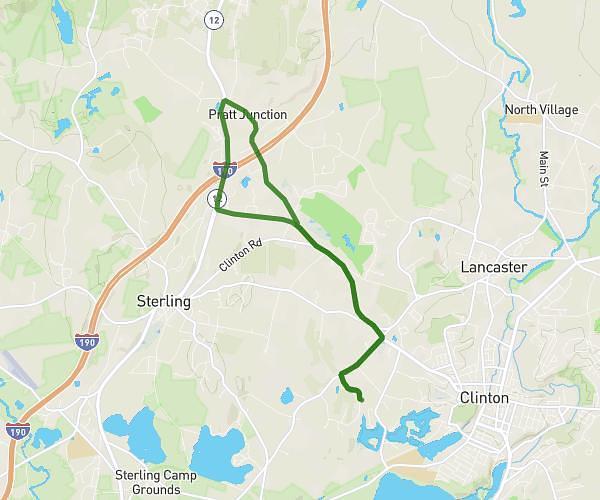
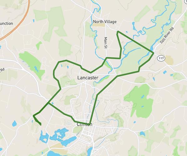
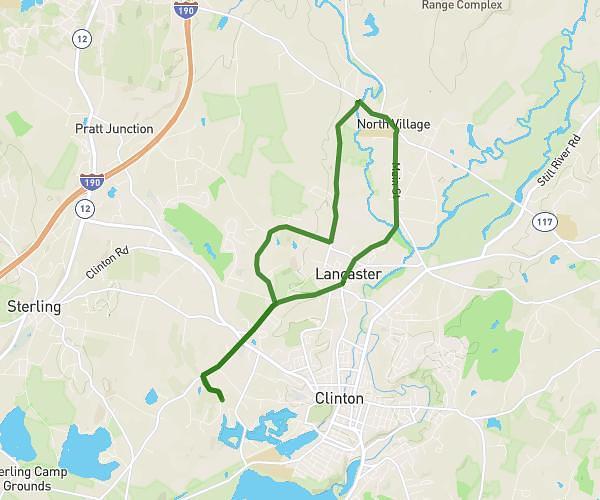
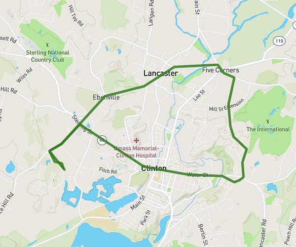
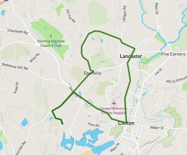
This cycling route covers 7.067mi starting from Lancaster, Massachusetts. The ride is a loop trail and returns to the trailhead. This route is rated as moderate, plan for about 36m33s to complete it. The route has an elevation gain of 525ft and an elevation loss of 515ft.
reservoir loop
Route details
326 kcal
Calories burned
2.8%
Avg grade
Loop trail
Route type
325ft
Min altitude
515ft
Max altitude
Route profile
525ft
Elevation gain
515ft
Elevation loss
325ft
Min altitude
515ft
Max altitude
How to get there
Trailhead: 25 Runaway Brook Road, Lancaster, Massachusetts 01523, United States
GPS coordinates of the trailhead: 42.420827, -71.715404 / 42°25'14'' N, 71°42'55'' W