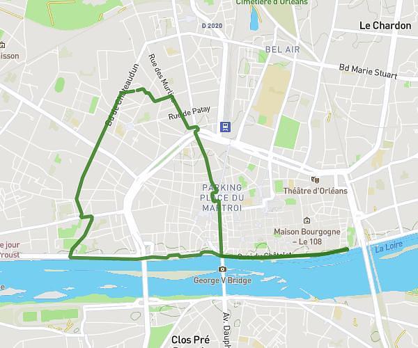
This running route covers 4.768mi starting from Ingrannes, Loiret. The run does not return to the trailhead and ends near 35 Route De Pithiviers, 45450 Ingrannes, France. This run is rated as easy, expect about 40m15s to complete it. The route has an elevation gain of 187ft and an elevation loss of 180ft.
Carinette 09 juillet 2025
Route details
7.11mph
Speed
460 kcal
Calories burned
Point to point
Route type
361ft
Min altitude
433ft
Max altitude
Route profile
187ft
Elevation gain
180ft
Elevation loss
361ft
Min altitude
433ft
Max altitude
How to get there
Trailhead: 11 Route De Pithiviers, 45450 Ingrannes, France
GPS coordinates of the trailhead: 47.99187, 2.21116 / 47°59'30'' N, 2°12'40'' E